File:Cuenca-loc.svg

Size of this PNG preview of this SVG file: 512 × 455 pixels. Other resolutions: 270 × 240 pixels | 540 × 480 pixels | 864 × 768 pixels | 1,152 × 1,024 pixels | 2,305 × 2,048 pixels.
Original file (SVG file, nominally 512 × 455 pixels, file size: 398 KB)
Captions
Captions
Add a one-line explanation of what this file represents
Summary
edit
| Description |
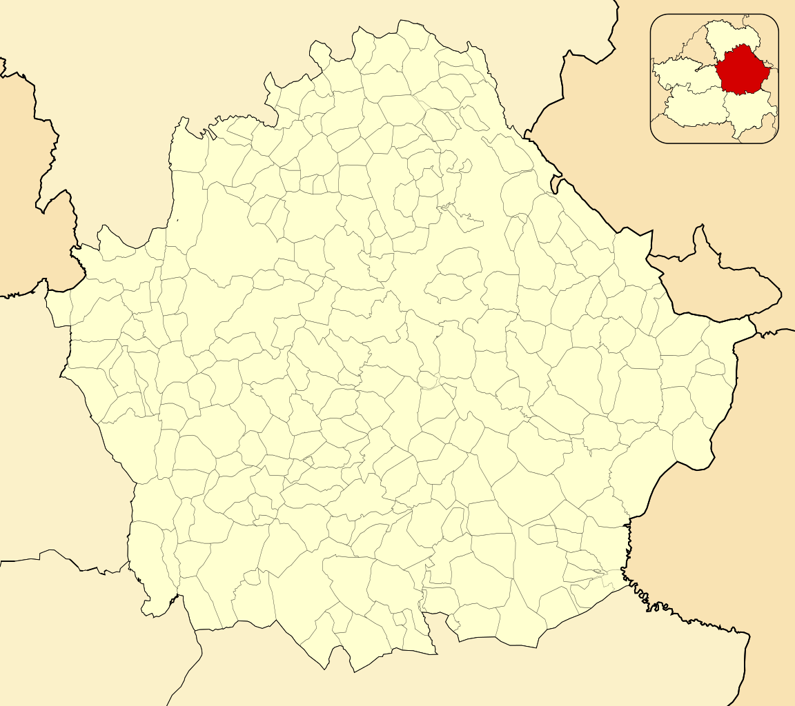
English: Location map of Province of Cuenca
Equirectangular projection, N/S stretching 130 %. Geographic limits of the map:
Español: Mapa de localización de la Provincia de Cuenca
Proyección equirrectangular (cilíndrica equidistante), N/S estirada 130 %. Límites geográficos del mapa:
|
|
| Date | ||
| Source | Own work based on: EspañaLoc.svg by HansenBCN | |
| Author | Miguillen | |
| SVG development |
|
Licensing
edit
Miguillen, the copyright holder of this work, hereby publishes it under the following license:
This file is licensed under the Creative Commons Attribution-Share Alike 3.0 Unported license.
Attribution: Miguillen
- You are free:
- to share – to copy, distribute and transmit the work
- to remix – to adapt the work
- Under the following conditions:
- attribution – You must give appropriate credit, provide a link to the license, and indicate if changes were made. You may do so in any reasonable manner, but not in any way that suggests the licensor endorses you or your use.
- share alike – If you remix, transform, or build upon the material, you must distribute your contributions under the same or compatible license as the original.
File history
Click on a date/time to view the file as it appeared at that time.
| Date/Time | Thumbnail | Dimensions | User | Comment | |
|---|---|---|---|---|---|
| current | 15:02, 10 December 2010 | | 512 × 455 (398 KB) | Miguillen (talk | contribs) | Colores según convención |
| 15:18, 14 November 2010 |  | 512 × 455 (258 KB) | Miguillen (talk | contribs) | == {{int:filedesc}} == {{Information |Description={{en|Location map of Province of Cuenca}} Equirectangular projection, N/S stretching 130 %. Geographic limits of the map: * N: ° N * S: ° N * W: ° O * E: ° O {{es|Mapa d |
You cannot overwrite this file.
File usage on Commons
There are no pages that use this file.
File usage on other wikis
The following other wikis use this file:
- Usage on ba.wikipedia.org
- Usage on bcl.wikipedia.org
- Usage on eo.wikipedia.org
- Provinco Kvenko
- Tarancón
- Las Pedroñeras
- San Clemente (Kvenko)
- Mota del Cuervo
- Horcajo de Santiago
- Villamayor de Santiago
- El Provencio
- Las Mesas
- Belmonte (Kvenko)
- La Alberca de Záncara
- Honrubia
- Casas de Fernando Alonso
- Fuente de Pedro Naharro
- San Lorenzo de la Parrilla
- El Pedernoso
- Valverde de Júcar
- Los Hinojosos
- Campos del Paraíso
- Casas de Haro
- Palomares del Campo
- Montalbo
- Santa María de los Llanos
- Santa María del Campo Rus
- Villarejo de Fuentes
- Saelices
- Villares del Saz
- Vara de Rey
- Osa de la Vega
- Torrejoncillo del Rey
- La Almarcha
- Villaescusa de Haro
- Casas de los Pinos
- Almonacid del Marquesado
- Puebla de Almenara
- Villarejo-Periesteban
- Villar de Cañas
- Olivares de Júcar
- Tresjuncos
- Zarza de Tajo
- Pozorrubio
- Villaverde y Pasaconsol
- Pozoamargo
- Hontanaya
- Belinchón
- Torrubia del Campo
- Pinarejo
- Cañada Juncosa
View more global usage of this file.