File:Current River SP 24Jun12 05.jpg
Size of this preview: 800 × 494 pixels. Other resolutions: 320 × 198 pixels | 640 × 395 pixels | 1,024 × 633 pixels | 1,280 × 791 pixels | 2,708 × 1,673 pixels.
Original file (2,708 × 1,673 pixels, file size: 2.43 MB, MIME type: image/jpeg)
Captions
Captions
Add a one-line explanation of what this file represents
Summary
edit
| Camera location | | View this and other nearby images on: OpenStreetMap |
|---|
| Description |
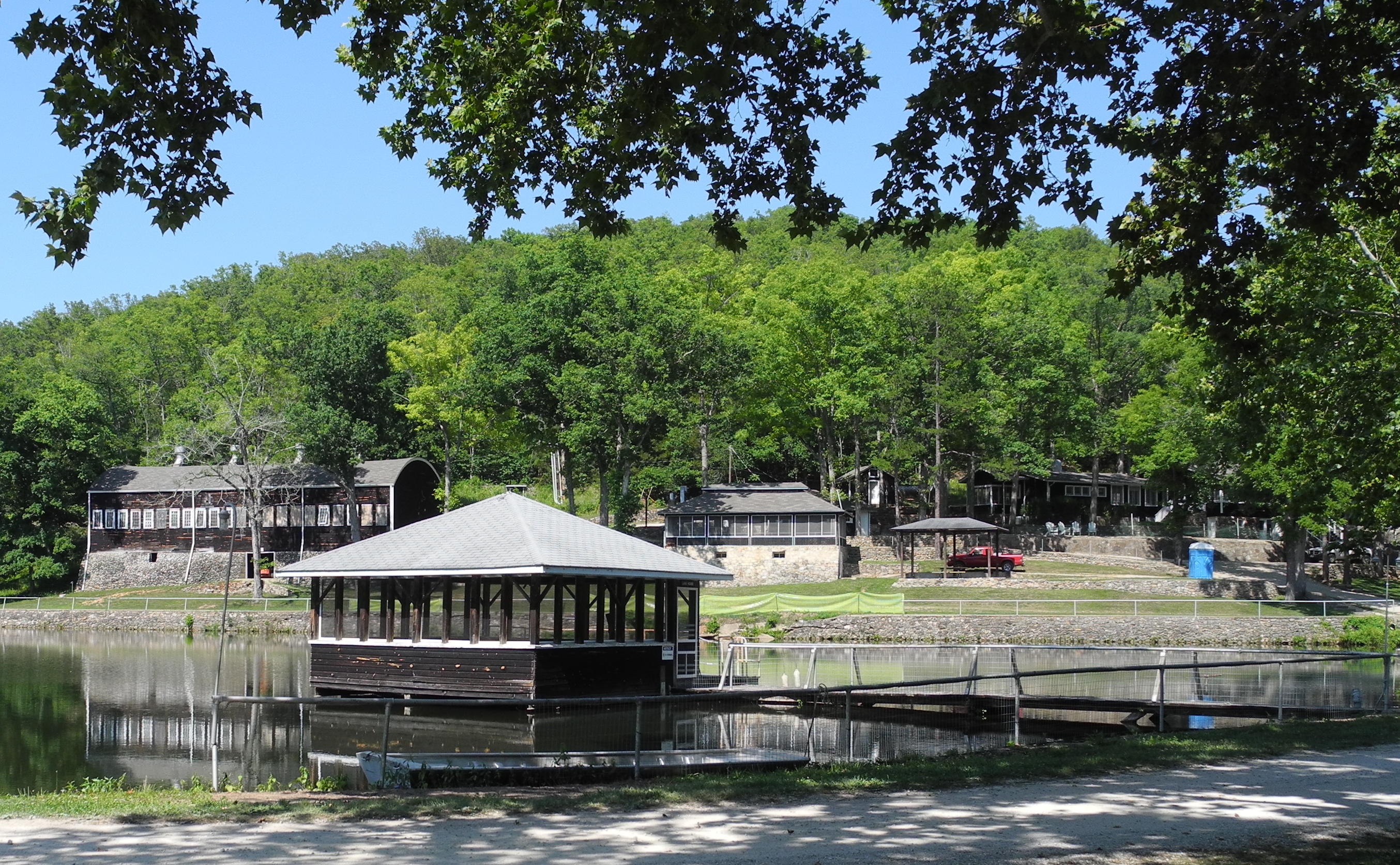
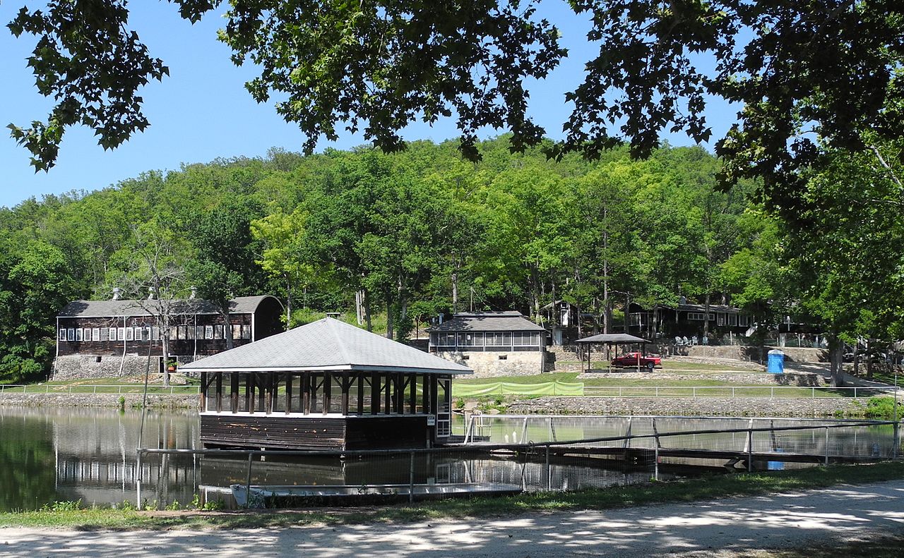
English: Lake house and other historic buildings of the Alton Club at Current River State Park in the Missouri Ozarks region. |
| Date | |
| Source | Own work |
| Author | Kbh3rd |
|
This is an image of a place or building that is listed on the National Register of Historic Places in the United States of America. Its reference number is 05001162. |
Licensing
edit
I, the copyright holder of this work, hereby publish it under the following license:
This file is licensed under the Creative Commons Attribution-Share Alike 3.0 Unported license.
- You are free:
- to share – to copy, distribute and transmit the work
- to remix – to adapt the work
- Under the following conditions:
- attribution – You must give appropriate credit, provide a link to the license, and indicate if changes were made. You may do so in any reasonable manner, but not in any way that suggests the licensor endorses you or your use.
- share alike – If you remix, transform, or build upon the material, you must distribute your contributions under the same or compatible license as the original.
File history
Click on a date/time to view the file as it appeared at that time.
| Date/Time | Thumbnail | Dimensions | User | Comment | |
|---|---|---|---|---|---|
| current | 22:56, 26 June 2012 | | 2,708 × 1,673 (2.43 MB) | Kbh3rd (talk | contribs) | exif data |
| 00:07, 26 June 2012 |  | 2,708 × 1,673 (2.43 MB) | Kbh3rd (talk | contribs) |
You cannot overwrite this file.
File usage on Commons
The following page uses this file:
File usage on other wikis
The following other wikis use this file:
- Usage on de.wikipedia.org
- Usage on en.wikipedia.org
- Usage on www.wikidata.org