File:Dąbrowa Górnicza tram network.png

Size of this preview: 797 × 600 pixels. Other resolutions: 319 × 240 pixels | 638 × 480 pixels | 1,021 × 768 pixels | 1,280 × 963 pixels | 2,560 × 1,927 pixels | 2,976 × 2,240 pixels.
Original file (2,976 × 2,240 pixels, file size: 287 KB, MIME type: image/png)
Captions
Captions
Add a one-line explanation of what this file represents
Summary
edit
| Description |
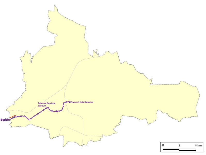
Polski: Sieć tramwajowa w Dąbrowie Górniczej (stan na 20 luty 2015).
Legenda:
|
| Date | |
| Source | Own work, based on: Krzysztof Soida: Komunikacja tramwajowa w aglomeracji katowickiej: 100 lat tramwaju elektrycznego. Katowice: Przedsiębiorstwo Komunikacji Tramwajowej & wyd. STAPIS, 1998. ISBN 83-85145-13-3., Schemat rozwoju sieci tramwajowej w GOP (http://wilczekkk.republika.pl/schem/schem.htm), http://www.kzkgop.com.pl/ and http://www.openstreetmap.org/ database |
| Author | Marek Mróz |
Licensing
edit
I, the copyright holder of this work, hereby publish it under the following license:
This file is licensed under the Creative Commons Attribution-Share Alike 4.0 International license.
- You are free:
- to share – to copy, distribute and transmit the work
- to remix – to adapt the work
- Under the following conditions:
- attribution – You must give appropriate credit, provide a link to the license, and indicate if changes were made. You may do so in any reasonable manner, but not in any way that suggests the licensor endorses you or your use.
- share alike – If you remix, transform, or build upon the material, you must distribute your contributions under the same or compatible license as the original.
File history
Click on a date/time to view the file as it appeared at that time.
| Date/Time | Thumbnail | Dimensions | User | Comment | |
|---|---|---|---|---|---|
| current | 09:28, 21 February 2015 | | 2,976 × 2,240 (287 KB) | MacQtosh (talk | contribs) | Nowa mapa |
| 08:56, 16 September 2014 |  | 2,312 × 1,720 (283 KB) | MacQtosh (talk | contribs) | User created page with UploadWizard |
You cannot overwrite this file.
File usage on Commons
The following 6 pages use this file:
- User:Chumwa/OgreBot/Public transport information/2014 September 11-20
- User:Chumwa/OgreBot/Public transport information/2015 February 19-28
- User:Chumwa/OgreBot/Transport Maps/2014 September 11-20
- User:Chumwa/OgreBot/Transport Maps/2015 February 19-28
- User:Liesel/Rail transport/2014 September 11-20
- User:Liesel/Rail transport/2015 February 19-28