File:DB 2 railway map.png
Size of this preview: 800 × 593 pixels. Other resolutions: 320 × 237 pixels | 640 × 474 pixels | 1,024 × 759 pixels | 1,280 × 948 pixels | 1,409 × 1,044 pixels.
Original file (1,409 × 1,044 pixels, file size: 1.52 MB, MIME type: image/png)
Captions
Captions
Add a one-line explanation of what this file represents
Summary edit
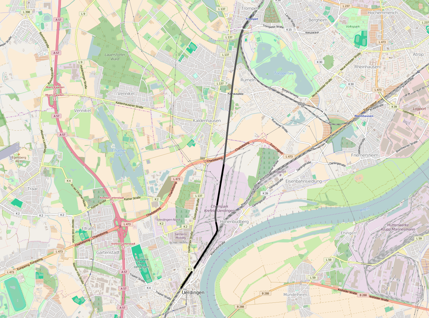
| Description | DB 2, Uerdingen - Trompet |
| Date | |
| Source | openstreetmap.org from the OpenStreetMap Germany/Railways project. |
| Author | OpenStreetMap contributors |
| Permission (Reusing this file) |
All OpenStreetMap data and maps are Creative Commons "CC-BY-SA 2.0" licensed |
Licensing edit
This file is licensed under the Creative Commons Attribution-Share Alike 2.0 Generic license.
- You are free:
- to share – to copy, distribute and transmit the work
- to remix – to adapt the work
- Under the following conditions:
- attribution – You must give appropriate credit, provide a link to the license, and indicate if changes were made. You may do so in any reasonable manner, but not in any way that suggests the licensor endorses you or your use.
- share alike – If you remix, transform, or build upon the material, you must distribute your contributions under the same or compatible license as the original.
File history
Click on a date/time to view the file as it appeared at that time.
| Date/Time | Thumbnail | Dimensions | User | Comment | |
|---|---|---|---|---|---|
| current | 17:47, 15 June 2016 | | 1,409 × 1,044 (1.52 MB) | Vunz (talk | contribs) | less cluttered |
| 09:58, 17 May 2012 |  | 1,181 × 896 (1.15 MB) | Vunz (talk | contribs) |
You cannot overwrite this file.
File usage on Commons
The following 5 pages use this file:
File usage on other wikis
The following other wikis use this file:
- Usage on nl.wikipedia.org