File:DC-DE-MD-PA-VA-WV Level IV ecoregions.pdf

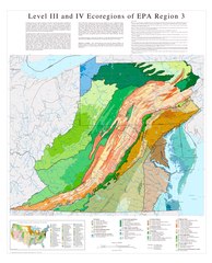
Size of this JPG preview of this PDF file: 485 × 599 pixels. Other resolutions: 194 × 240 pixels | 388 × 480 pixels | 622 × 768 pixels | 829 × 1,024 pixels | 1,658 × 2,048 pixels | 5,100 × 6,300 pixels.
Original file (5,100 × 6,300 pixels, file size: 2.34 MB, MIME type: application/pdf)
Captions
Captions
Add a one-line explanation of what this file represents
Summary edit
| Description |
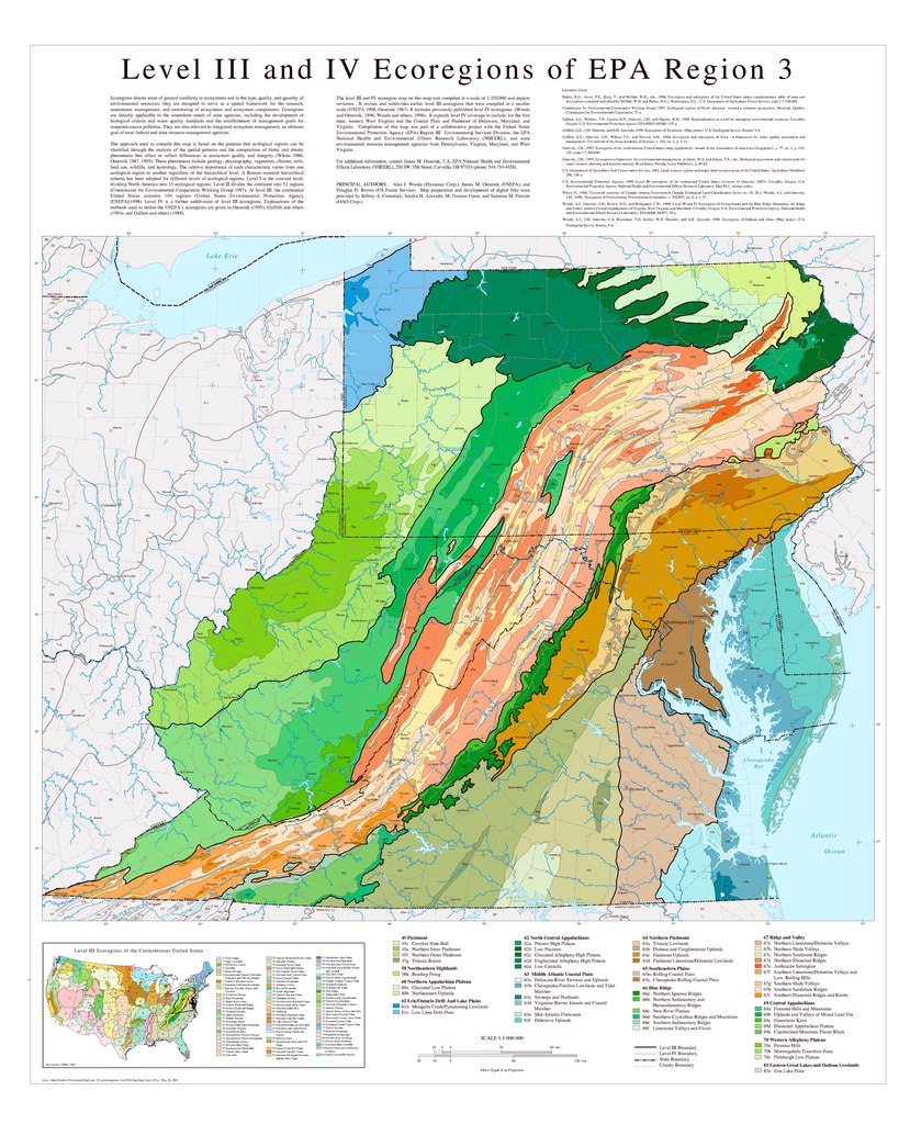
English: Map of Level III and Level IV ecoregions in the Delaware, Maryland, Pennsylvania, Virginia, Washington, D.C. and West Virginia, as defined by the U.S. Environmental Protection Agency.
|
|||
| Date | ||||
| Source | ftp://newftp.epa.gov/EPADataCommons/ORD/Ecoregions/reg3/reg3_eco.pdf | |||
| Author | lan J. Woods, James M. Omernik, and Douglas D. Brown. |
File history
Click on a date/time to view the file as it appeared at that time.
| Date/Time | Thumbnail | Dimensions | User | Comment | |
|---|---|---|---|---|---|
| current | 16:41, 22 July 2019 |  | 5,100 × 6,300 (2.34 MB) | TimK MSI (talk | contribs) | {{Information |description ={{en|1=Map of Level III and Level IV ecoregions in the Delaware, Maryland, Pennsylvania, Virginia, Washington, D.C. and West Virginia, as defined by the U.S. Environmental Protection Agency. {{PD-USGov-USGS}}}} |date =2003-05-28 |source =ftp://newftp.epa.gov/EPADataCommons/ORD/Ecoregions/reg3/reg3_eco.pdf |author =lan J. Woods, James M. Omernik, and Douglas D. Brown. }} Category:Maps of EPA ecoregions [[Category:Maps of Delaw... |
You cannot overwrite this file.
File usage on Commons
There are no pages that use this file.