File:DETAIL VIEW OF TOP CHORD AND LATERAL BRACING - Red Bridge, Spanning North Benson Creek, Frankfort, Franklin County, KY HAER KY,37-FRAFO.V,1-7.tif

Size of this JPG preview of this TIF file: 751 × 599 pixels. Other resolutions: 301 × 240 pixels | 602 × 480 pixels | 963 × 768 pixels | 1,280 × 1,021 pixels | 2,560 × 2,043 pixels | 4,874 × 3,889 pixels.
Original file (4,874 × 3,889 pixels, file size: 18.08 MB, MIME type: image/tiff)
Captions
Captions
Add a one-line explanation of what this file represents
Summary edit
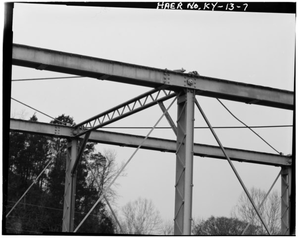
| DETAIL VIEW OF TOP CHORD AND LATERAL BRACING - Red Bridge, Spanning North Benson Creek, Frankfort, Franklin County, KY | ||||
|---|---|---|---|---|
| Title |
DETAIL VIEW OF TOP CHORD AND LATERAL BRACING - Red Bridge, Spanning North Benson Creek, Frankfort, Franklin County, KY |
|||
| Description |
King Bridge Company; Kentucky Transportation Cabinet; Hawke, Paul, transmitter; Daniel, J E, photographer; Mettillee, J L, photographer; Henderson, Jayne C, historian |
|||
| Depicted place | Kentucky; Franklin County; Frankfort | |||
| Date | Documentation compiled after 1968 | |||
| Dimensions | 4 x 5 in. | |||
| Current location |
Library of Congress Prints and Photographs Division Washington, D.C. 20540 USA http://hdl.loc.gov/loc.pnp/pp.print |
|||
| Accession number |
HAER KY,37-FRAFO.V,1-7 |
|||
| Credit line |
|
|||
| Notes |
|
|||
| Source | https://www.loc.gov/pictures/item/ky0210.photos.070619p | |||
| Permission (Reusing this file) |
|
|||

| Object location | | View this and other nearby images on: OpenStreetMap |
|---|
File history
Click on a date/time to view the file as it appeared at that time.
| Date/Time | Thumbnail | Dimensions | User | Comment | |
|---|---|---|---|---|---|
| current | 01:18, 20 July 2014 |  | 4,874 × 3,889 (18.08 MB) | Fæ (talk | contribs) | GWToolset: Creating mediafile for Fæ. HABS 16 July 2014 (1201:1400) |
You cannot overwrite this file.
File usage on Commons
The following page uses this file: