File:Daggerpod, Phoenicaulis cheiranthoides (46816933924).jpg

Original file (3,648 × 2,736 pixels, file size: 6.74 MB, MIME type: image/jpeg)
Captions
Captions
Summary
edit.jpg&action=edit§ion=1)
| Description |
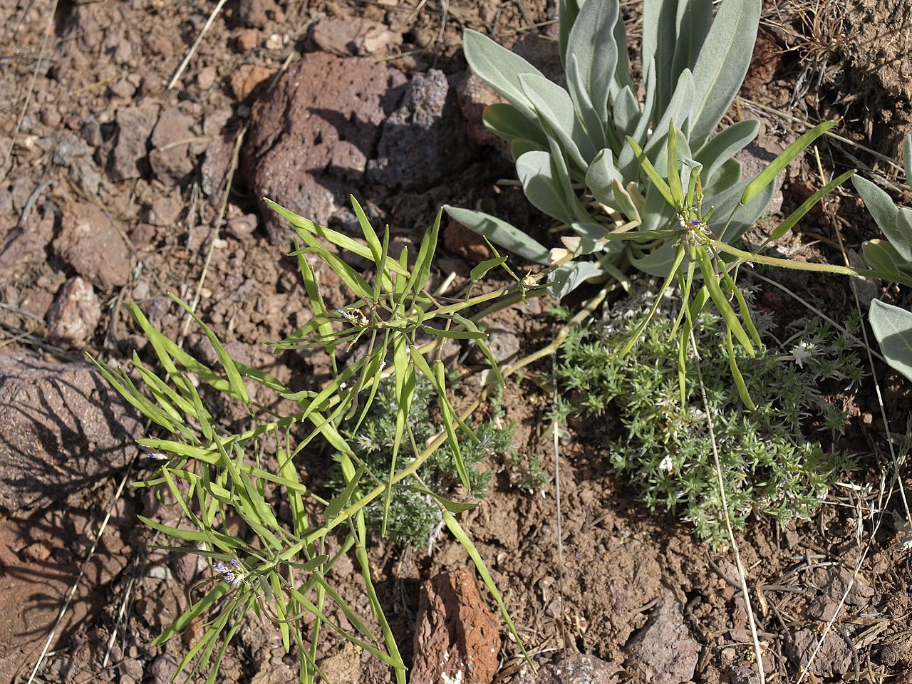
daggerpod, Phoenicaulis cheiranthoides, Nevada, White Mountains, Montgomery Pass, Columbus Salt Marsh drainage, elevation 2449 m (8035 ft). With its large felty basal leaves and flat sword-shaped fruits, this perennial mustard is one of the more distinctive and easily recognized species in the western United States. Seen here near its southern geographic limit, the species extends northward through most of the Great Basin and Columbia Plateau, and west into the mountains of northern California. It prefers rocky volcanic soils and outcrops in the mountains below about 3150 meters (10300 feet) elevations. Earlier in the season it is one of the first wildflowers to appear, with arrays of showy purplish pink flowers. Also visible here are carpet phlox (Phlox hoodii canescens) and Sandberg bluegrass (Poa secunda secunda). |
| Date | |
| Source | daggerpod, Phoenicaulis cheiranthoides |
| Author | Jim Morefield from Nevada, USA |
| Camera location | | View this and other nearby images on: OpenStreetMap |
|---|
.jpg¶ms=037.965269_N_-118.303620_E_globe:Earth_type:camera_source:Flickr_&language=en)
Licensing
edit.jpg&action=edit§ion=2)
- You are free:
- to share – to copy, distribute and transmit the work
- to remix – to adapt the work
- Under the following conditions:
- attribution – You must give appropriate credit, provide a link to the license, and indicate if changes were made. You may do so in any reasonable manner, but not in any way that suggests the licensor endorses you or your use.
- share alike – If you remix, transform, or build upon the material, you must distribute your contributions under the same or compatible license as the original.
| This image was originally posted to Flickr by Jim Morefield at https://flickr.com/photos/127605180@N04/46816933924 (archive). It was reviewed on 29 December 2019 by FlickreviewR 2 and was confirmed to be licensed under the terms of the cc-by-sa-2.0. |
File history
Click on a date/time to view the file as it appeared at that time.
| Date/Time | Thumbnail | Dimensions | User | Comment | |
|---|---|---|---|---|---|
| current | 03:12, 29 December 2019 | | 3,648 × 2,736 (6.74 MB) | Ser Amantio di Nicolao (talk | contribs) | Transferred from Flickr via #flickr2commons |
You cannot overwrite this file.
File usage on Commons
There are no pages that use this file.
.jpg&oldid=882646720)