File:Dam Dale Farm - geograph.org.uk - 181285.jpg
No higher resolution available.
Dam_Dale_Farm_-_geograph.org.uk_-_181285.jpg (640 × 480 pixels, file size: 148 KB, MIME type: image/jpeg)
Captions
Captions
Add a one-line explanation of what this file represents
| Description |
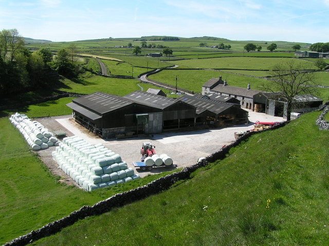
English: Dam Dale Farm. From the footpath that climbs the dale side to the southeast. A farm worker was using a tractor to unload plastic-wrapped bales from a trailer. |
||
| Date | |||
| Source | From geograph.org.uk | ||
| Author | Dave Dunford | ||
| Permission (Reusing this file) |
This file is licensed under the Creative Commons Attribution-Share Alike 2.0 Generic license. Attribution: Dave Dunford
|
||
| Attribution (required by the license) | Dave Dunford / Dam Dale Farm / | ||

| Object location | | View this and other nearby images on: OpenStreetMap |
|---|
_heading:315.00&language=en)
File history
Click on a date/time to view the file as it appeared at that time.
| Date/Time | Thumbnail | Dimensions | User | Comment | |
|---|---|---|---|---|---|
| current | 15:45, 31 January 2010 | | 640 × 480 (148 KB) | GeographBot (talk | contribs) | == {{int:filedesc}} == {{Information |description={{en|1=Dam Dale Farm. From the footpath that climbs the dale side to the southeast. A farm worker was using a tractor to unload plastic-wrapped bales from a trailer.}} |date=2006-06-03 |source=From [http:/ |
You cannot overwrite this file.
File usage on Commons
There are no pages that use this file.