File:Dangjin-map.png

Size of this preview: 676 × 600 pixels. Other resolutions: 271 × 240 pixels | 541 × 480 pixels | 866 × 768 pixels | 1,154 × 1,024 pixels | 1,500 × 1,331 pixels.
Original file (1,500 × 1,331 pixels, file size: 347 KB, MIME type: image/png)
Captions
Captions
Add a one-line explanation of what this file represents
Summary edit
| Description |
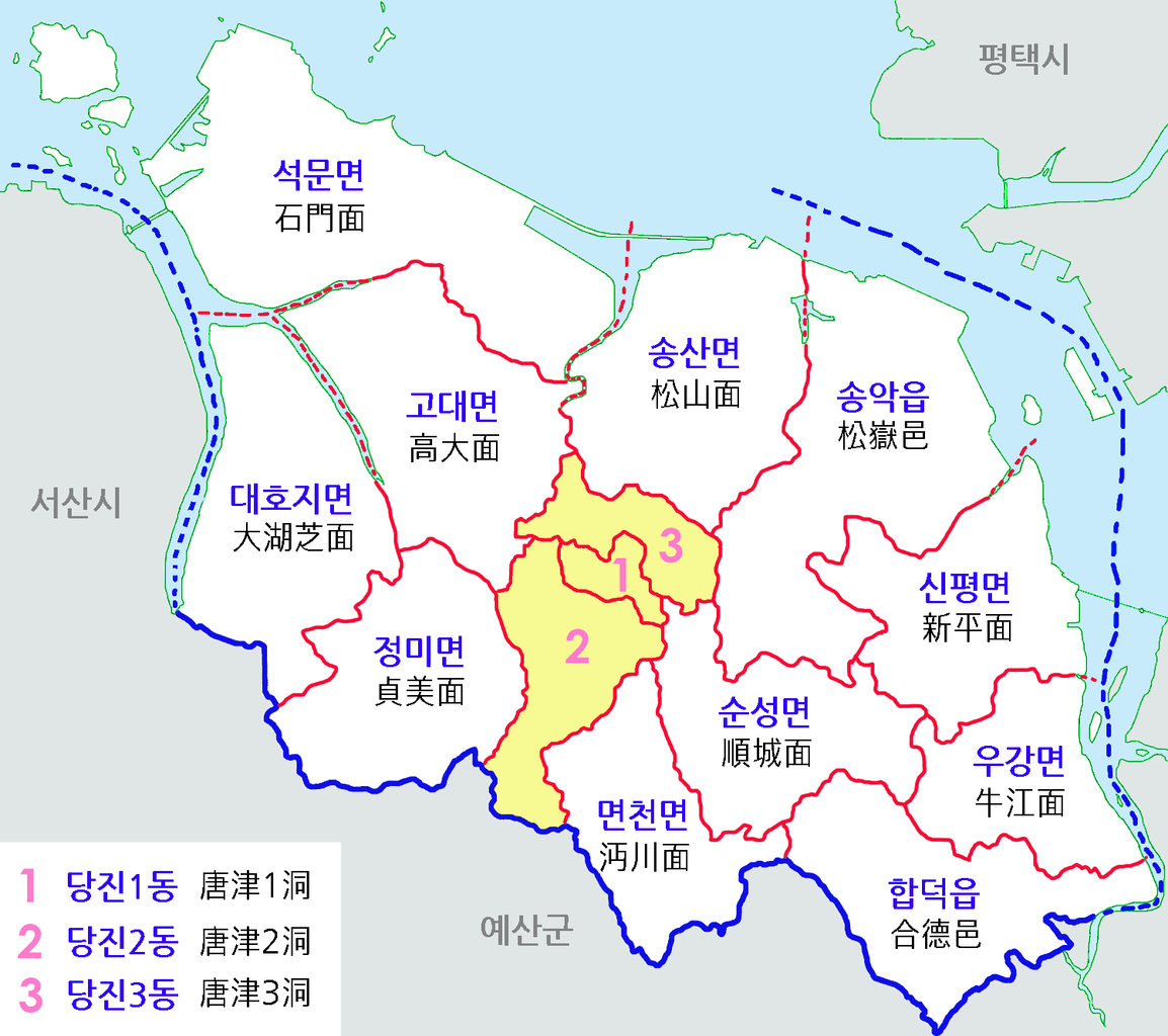
한국어: 충남 당진군 행정구역도 |
| Date | |
| Source | Own work |
| Author | 장길산 |
Licensing edit
| I, the copyright holder of this work, release this work into the public domain. This applies worldwide. In some countries this may not be legally possible; if so: I grant anyone the right to use this work for any purpose, without any conditions, unless such conditions are required by law. |
File history
Click on a date/time to view the file as it appeared at that time.
| Date/Time | Thumbnail | Dimensions | User | Comment | |
|---|---|---|---|---|---|
| current | 15:19, 9 March 2013 | | 1,500 × 1,331 (347 KB) | Lightstar77 (talk | contribs) | |
| 04:09, 23 August 2012 |  | 1,500 × 1,331 (316 KB) | Lightstar77 (talk | contribs) | ||
| 04:07, 23 August 2012 |  | 1,500 × 1,331 (318 KB) | Lightstar77 (talk | contribs) | ||
| 17:57, 18 August 2012 |  | 1,500 × 1,331 (453 KB) | Asfreeas (talk | contribs) | Color & Font Adjusted | |
| 23:19, 4 May 2012 |  | 1,500 × 1,331 (876 KB) | Gloyacks (talk | contribs) | 행정구역조정 | |
| 17:11, 6 December 2011 |  | 1,500 × 1,309 (754 KB) | Gloyacks (talk | contribs) | {{파일 정보 |설명=충남 당진군 행정구역도 |출처= 자작 |날짜=2011년 12월 7일 |만든이=장길산 |저작권= |기타= }} |
You cannot overwrite this file.
File usage on Commons
The following 2 pages use this file:
File usage on other wikis
The following other wikis use this file:
- Usage on ko.wikipedia.org
- Usage on tt.wikipedia.org
- Usage on www.wikidata.org