File:Dankelshausen.jpg
Size of this preview: 800 × 398 pixels. Other resolutions: 320 × 159 pixels | 640 × 319 pixels | 1,024 × 510 pixels | 1,280 × 637 pixels | 2,560 × 1,274 pixels | 4,320 × 2,150 pixels.
Original file (4,320 × 2,150 pixels, file size: 3.27 MB, MIME type: image/jpeg)
Captions
Captions
Add a one-line explanation of what this file represents
Summary
edit
| Description |
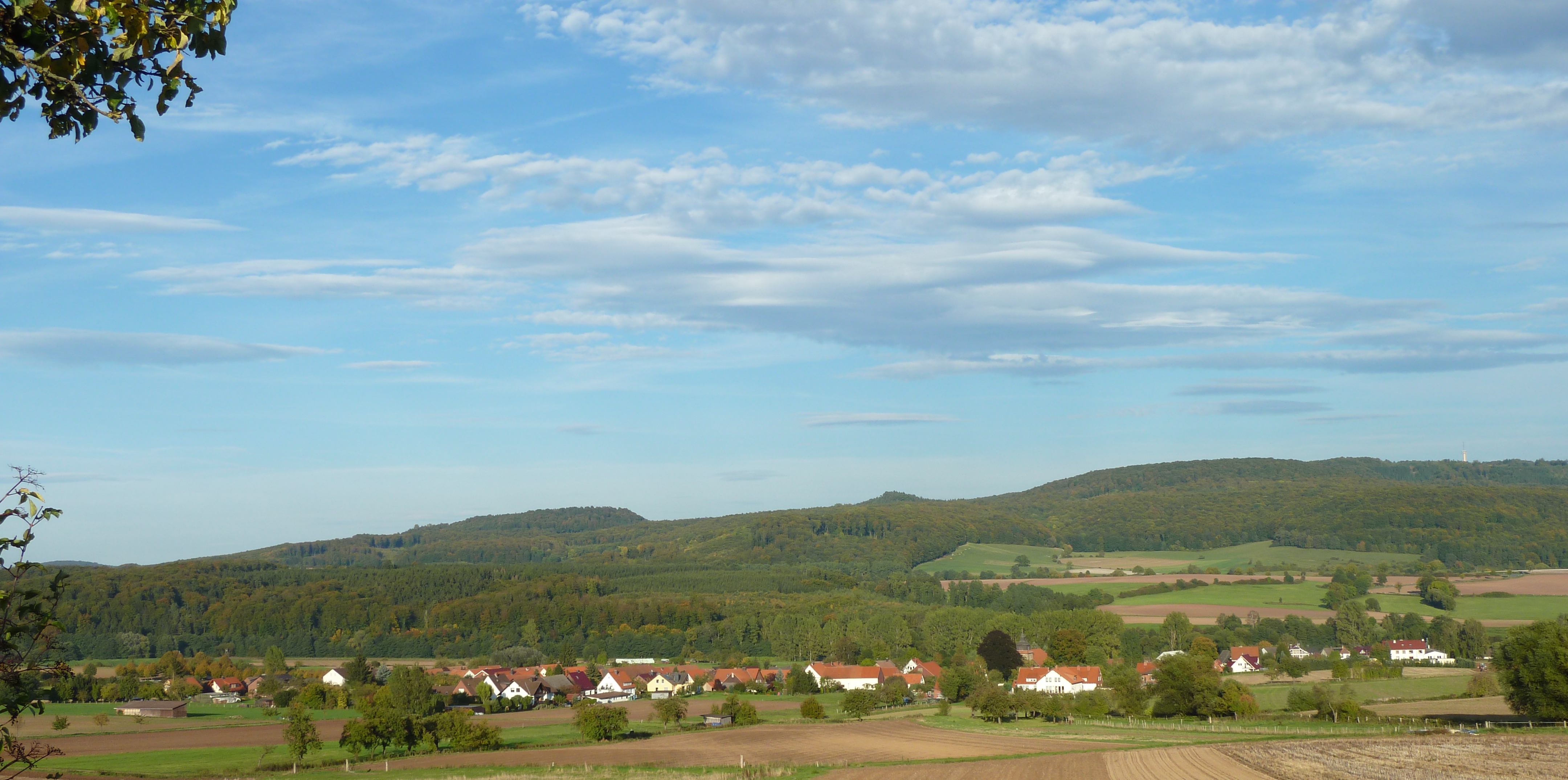
Deutsch: Blick von Westsüdwesten vom Osthang des Bramwalds auf Dankelshausen, Gemeinde Scheden, Niedersachsen |
| Date | |
| Source | Own work |
| Author | Jan Stubenitzky (Dehio) |
| Camera location | | View this and other nearby images on: OpenStreetMap |
|---|
Licensing
edit
I, the copyright holder of this work, hereby publish it under the following license:
This file is licensed under the Creative Commons Attribution-Share Alike 3.0 Unported license.
- You are free:
- to share – to copy, distribute and transmit the work
- to remix – to adapt the work
- Under the following conditions:
- attribution – You must give appropriate credit, provide a link to the license, and indicate if changes were made. You may do so in any reasonable manner, but not in any way that suggests the licensor endorses you or your use.
- share alike – If you remix, transform, or build upon the material, you must distribute your contributions under the same or compatible license as the original.
File history
Click on a date/time to view the file as it appeared at that time.
| Date/Time | Thumbnail | Dimensions | User | Comment | |
|---|---|---|---|---|---|
| current | 17:28, 13 August 2011 | | 4,320 × 2,150 (3.27 MB) | Dehio (talk | contribs) | {{Information |Description ={{de|1=Blick von Westsüdwesten vom Osthang des Bramwalds auf Dankelshausen, Gemeinde Scheden, Niedersachsen}} |Source ={{own}} |Author =Jan Stubenitzky (Dehio) |Date =2010-10-03 |Per |
You cannot overwrite this file.
File usage on Commons
The following page uses this file:
File usage on other wikis
The following other wikis use this file:
- Usage on de.wikipedia.org
- Usage on www.wikidata.org