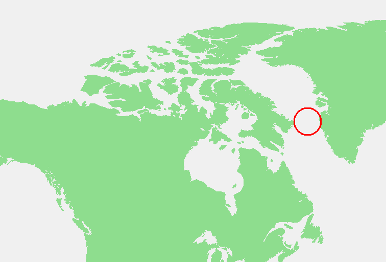
File:Davis Strait.PNG
No higher resolution available.
Davis_Strait.PNG (756 × 512 pixels, file size: 21 KB, MIME type: image/png)
Captions
Captions
Add a one-line explanation of what this file represents
| Description | Davis Strait.PNG | ||||
| Source | |||||
| Author | edited by M.Minderhoud | ||||
| Permission (Reusing this file) |
|
File history
Click on a date/time to view the file as it appeared at that time.
| Date/Time | Thumbnail | Dimensions | User | Comment | |
|---|---|---|---|---|---|
| current | 19:14, 3 November 2006 | | 756 × 512 (21 KB) | Michiel1972 (talk | contribs) | {{Information |Description= {{subst:PAGENAME}} |Source= |Date= |Author= edited by M.Minderhoud |Permission= {{PD-Demis}} |other_versions= }} Category:Locator maps of seas |
You cannot overwrite this file.
File usage on Commons
The following 3 pages use this file:
File usage on other wikis
The following other wikis use this file:
- Usage on an.wikipedia.org
- Usage on ar.wikipedia.org
- Usage on ast.wikipedia.org
- Usage on avk.wikipedia.org
- Usage on ca.wikipedia.org
- Usage on el.wikipedia.org
- Usage on eo.wikipedia.org
- Usage on es.wikipedia.org
- Usage on eu.wikipedia.org
- Usage on fr.wikipedia.org
- Usage on gl.wikipedia.org
- Usage on ia.wikipedia.org
- Usage on no.wikipedia.org
- Usage on pnb.wikipedia.org
- Usage on pt.wikipedia.org
- Usage on sc.wikipedia.org
- Usage on sl.wikipedia.org
- Usage on www.wikidata.org
- Usage on zh-yue.wikipedia.org