File:Daya Geostationary VIS-IR 2016.png
Size of this preview: 600 × 600 pixels. Other resolutions: 240 × 240 pixels | 480 × 480 pixels | 640 × 640 pixels.
Original file (640 × 640 pixels, file size: 260 KB, MIME type: image/png)
Captions
Captions
Add a one-line explanation of what this file represents
Summary
edit
| Description |
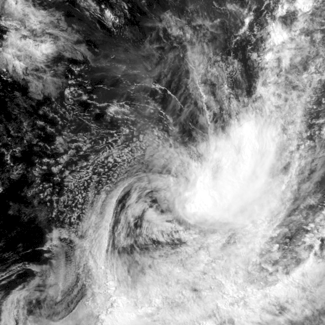
English: Geostationary imagery of Cyclone Daya (10S) (2016) |
| Date | |
| Source | http://www.nrlmry.navy.mil/archdat/test/kml/TC/2016/SHEM/10S/visir/ |
| Author | United States Naval Research Laboratory |
Licensing
edit
This file is a work of a sailor or employee of the U.S. Navy, taken or made as part of that person's official duties. As a work of the U.S. federal government, it is in the public domain in the United States.
|
 | |
| This file has been identified as being free of known restrictions under copyright law, including all related and neighboring rights. | ||
File history
Click on a date/time to view the file as it appeared at that time.
| Date/Time | Thumbnail | Dimensions | User | Comment | |
|---|---|---|---|---|---|
| current | 07:11, 12 February 2016 | | 640 × 640 (260 KB) | Typhoon2013 (talk | contribs) | 2016-02-12 0630Z |
| 17:45, 11 February 2016 |  | 320 × 320 (59 KB) | Typhoon2013 (talk | contribs) | 2016-02-12 1730Z | |
| 03:39, 11 February 2016 |  | 640 × 640 (124 KB) | Typhoon2013 (talk | contribs) | 2016-02-11 0300Z | |
| 03:38, 11 February 2016 |  | 640 × 640 (288 KB) | Typhoon2013 (talk | contribs) | User created page with UploadWizard |
You cannot overwrite this file.
File usage on Commons
There are no pages that use this file.