File:Dessin ehemaliges Herrenhaus 2012-10-11 374.JPG
Size of this preview: 800 × 580 pixels. Other resolutions: 320 × 232 pixels | 640 × 464 pixels | 1,024 × 742 pixels | 1,280 × 928 pixels | 1,756 × 1,273 pixels.
Original file (1,756 × 1,273 pixels, file size: 814 KB, MIME type: image/jpeg)
File information
Structured data
Captions
DescriptionDessin ehemaliges Herrenhaus 2012-10-11 374.JPG |
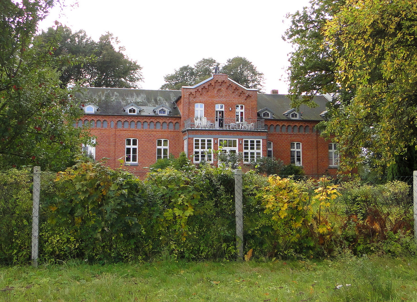
Deutsch: Herrenhaus in Dessin im Landkreis Ludwigslust-Parchim, Mecklenburg-Vorpommern, Deutschland
English: Manor house in Dessin, district Ludwigslust-Parchim, Mecklenburg-Vorpommern, Germany |
Date | |
Source | Self-photographed |
Author | Niteshift (talk) |
Permission (Reusing this file) |
I, the copyright holder of this work, hereby publish it under the following license: This file is licensed under the Creative Commons Attribution-Share Alike 3.0 Unported license.
|
Camera location | 53° 37′ 39.48″ N, 11° 50′ 57.56″ E | View this and other nearby images on: OpenStreetMap | 53.627632; 11.849323 |
---|
File history
Click on a date/time to view the file as it appeared at that time.
Date/Time | Thumbnail | Dimensions | User | Comment | |
---|---|---|---|---|---|
current | 01:07, 13 October 2012 | 1,756 × 1,273 (814 KB) | Niteshift (talk | contribs) | {{subst:User:Niteshift/MV |deobjekt=Herrenhaus |enobjekt=Manor house |Pos=in |enPos=in |Ort=Dessin |Landkreis=Ludwigslust-Parchim |Jahr=2012 |Monat=10 |Tag=11 |Jahrkat=Landkreis Ludwigslust-Parchim |GPS={{GPS EXIF}} }} Category:Dessin [[Category:Ma... |
You cannot overwrite this file.
File usage on Commons
There are no pages that use this file.
File usage on other wikis
The following other wikis use this file:
- Usage on de.wikipedia.org
Metadata
This file contains additional information such as Exif metadata which may have been added by the digital camera, scanner, or software program used to create or digitize it. If the file has been modified from its original state, some details such as the timestamp may not fully reflect those of the original file. The timestamp is only as accurate as the clock in the camera, and it may be completely wrong.
Camera manufacturer | SONY |
---|---|
Camera model | DSC-HX1 |
Exposure time | 1/200 sec (0.005) |
F-number | f/4 |
ISO speed rating | 125 |
Date and time of data generation | 14:26, 11 October 2012 |
Lens focal length | 5 mm |
Latitude | 53° 37′ 39.48″ N |
Longitude | 11° 50′ 57.56″ E |
Altitude | 61 meters above sea level |
Orientation | Normal |
Horizontal resolution | 72 dpi |
Vertical resolution | 72 dpi |
Software used | PaintShop Photo Pro 13,00 |
File change date and time | 02:47, 13 October 2012 |
Y and C positioning | Co-sited |
Exposure Program | Normal program |
Exif version | 2.21 |
Date and time of digitizing | 14:26, 11 October 2012 |
Meaning of each component |
|
Image compression mode | 5 |
APEX exposure bias | 0 |
Maximum land aperture | 3 APEX (f/2.83) |
Metering mode | Pattern |
Light source | Unknown |
Flash | Flash fired, strobe return light not detected, auto mode, red-eye reduction mode |
Supported Flashpix version | 1 |
Color space | sRGB |
File source | Digital still camera |
Scene type | A directly photographed image |
Custom image processing | Normal process |
Exposure mode | Auto exposure |
White balance | Auto white balance |
Scene capture type | Standard |
Contrast | Normal |
Saturation | Normal |
Sharpness | Normal |
GPS time (atomic clock) | 12:26 |
Geodetic survey data used | WGS-84 |
GPS date | 11 October 2012 |
GPS tag version | 0.0.2.2 |
IIM version | 2 |
Keywords | 2012-10-11 |