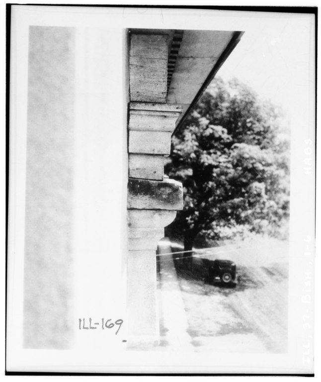
File:Detail of pilaster cap. Aug. 10, 1936. Joseph Hill, photographer, copied from small photo taken by survey member. - Jansonist Colony, Steeple Building, Main and Bishop Hill HABS ILL,37-BISH,1-6.tif

Size of this JPG preview of this TIF file: 504 × 599 pixels. Other resolutions: 202 × 240 pixels | 404 × 480 pixels | 646 × 768 pixels | 862 × 1,024 pixels | 1,724 × 2,048 pixels | 4,034 × 4,793 pixels.
Original file (4,034 × 4,793 pixels, file size: 18.44 MB, MIME type: image/tiff)
Captions
Captions
Add a one-line explanation of what this file represents
Summary edit
| Detail of pilaster cap. Aug. 10, 1936. Joseph Hill, photographer, copied from small photo taken by survey member. - Jansonist Colony, Steeple Building, Main and Bishop Hill Streets, Bishop Hill, Henry County, IL | ||||
|---|---|---|---|---|
| Photographer |
Related names:
|
|||
| Title |
Detail of pilaster cap. Aug. 10, 1936. Joseph Hill, photographer, copied from small photo taken by survey member. - Jansonist Colony, Steeple Building, Main and Bishop Hill Streets, Bishop Hill, Henry County, IL |
|||
| Depicted place | Illinois; Henry County; Bishop Hill | |||
| Date | Documentation compiled after 1933 | |||
| Dimensions | 4 x 5 in. | |||
| Current location |
Library of Congress Prints and Photographs Division Washington, D.C. 20540 USA http://hdl.loc.gov/loc.pnp/pp.print |
|||
| Accession number |
HABS ILL,37-BISH,1-6 |
|||
| Credit line |
|
|||
| Notes |
|
|||
| References |
|
|||
| Source | https://www.loc.gov/pictures/item/il0409.photos.062037p | |||
| Permission (Reusing this file) |
|
|||

| Object location | | View this and other nearby images on: OpenStreetMap |
|---|
File history
Click on a date/time to view the file as it appeared at that time.
| Date/Time | Thumbnail | Dimensions | User | Comment | |
|---|---|---|---|---|---|
| current | 01:07, 17 July 2014 |  | 4,034 × 4,793 (18.44 MB) | Fæ (talk | contribs) | GWToolset: Creating mediafile for Fæ. HABS 11 July 2014 (1001:1200) |
You cannot overwrite this file.
File usage on Commons
The following page uses this file: