File:Deviation Kander general.png
Size of this preview: 800 × 543 pixels. Other resolutions: 320 × 217 pixels | 640 × 434 pixels | 1,024 × 695 pixels | 1,359 × 922 pixels.
Original file (1,359 × 922 pixels, file size: 448 KB, MIME type: image/png)
Captions
Captions
Add a one-line explanation of what this file represents
Summary
edit
| Description |
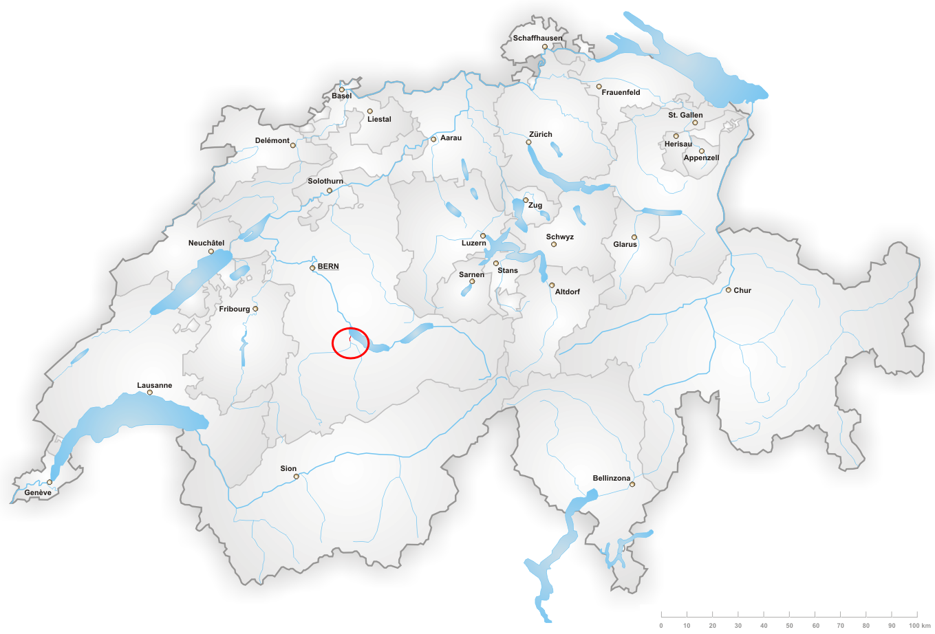
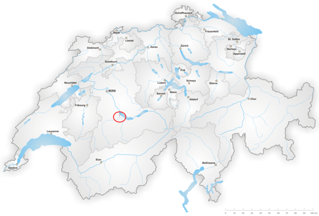
English: Country-side map of the Kander river correction
Français : Vue générale du canal réalisé dans le cadre de la déviation de la Kander |
| Date | |
| Source | Own work |
| Author | Manoillon |
Made from Image:Karte Schweiz.png
Licensing
edit
I, the copyright holder of this work, hereby publish it under the following licenses:
This file is licensed under the Creative Commons Attribution-Share Alike 3.0 Unported license.
- You are free:
- to share – to copy, distribute and transmit the work
- to remix – to adapt the work
- Under the following conditions:
- attribution – You must give appropriate credit, provide a link to the license, and indicate if changes were made. You may do so in any reasonable manner, but not in any way that suggests the licensor endorses you or your use.
- share alike – If you remix, transform, or build upon the material, you must distribute your contributions under the same or compatible license as the original.

|
Permission is granted to copy, distribute and/or modify this document under the terms of the GNU Free Documentation License, Version 1.2 or any later version published by the Free Software Foundation; with no Invariant Sections, no Front-Cover Texts, and no Back-Cover Texts. A copy of the license is included in the section entitled GNU Free Documentation License. |
You may select the license of your choice.
File history
Click on a date/time to view the file as it appeared at that time.
| Date/Time | Thumbnail | Dimensions | User | Comment | |
|---|---|---|---|---|---|
| current | 12:51, 22 August 2008 | | 1,359 × 922 (448 KB) | Manoillon (talk | contribs) | {{Information |Description={{en|1=Country-side map of the Kander river correction}} {{fr|1=Vue générale du canal réalisé dans le cadre de la déviation de la Kander}} |Source=Own work by uploader |Author=Manoillon |Date=August 22nd, |
You cannot overwrite this file.
File usage on Commons
There are no pages that use this file.
File usage on other wikis
The following other wikis use this file:
- Usage on fr.wikipedia.org