File:Diamond Springs Station facing S from monument.JPG

Size of this preview: 800 × 570 pixels. Other resolutions: 320 × 228 pixels | 640 × 456 pixels | 1,024 × 729 pixels | 1,280 × 911 pixels | 2,406 × 1,713 pixels.
Original file (2,406 × 1,713 pixels, file size: 1.66 MB, MIME type: image/jpeg)
Captions
Captions
Add a one-line explanation of what this file represents
Summary
edit
| Description |
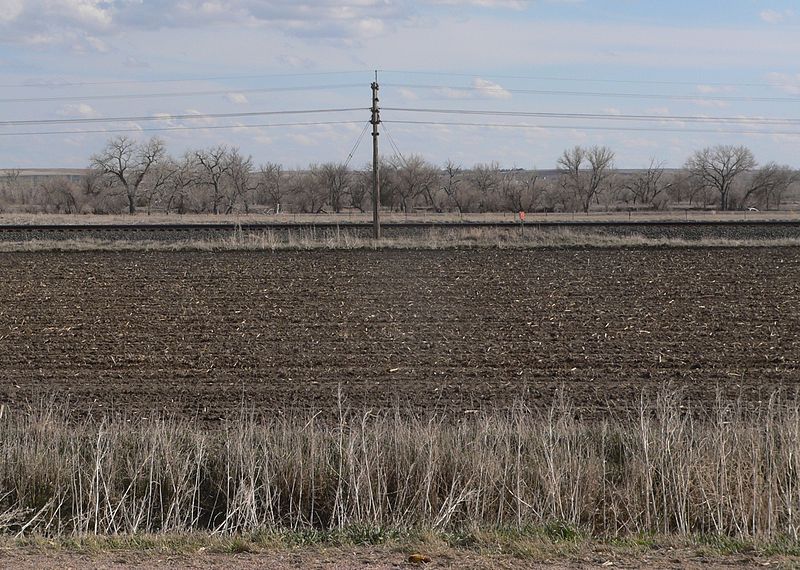
English: Diamond Springs Station monument, located on north side of U.S. Highway 30 west of county road West I, west of Brule in Keith County, Nebraska. Camera is facing south from monument; the trees beyond the railroad tracks are along the South Platte River. According to the monument, the station was located 0.8 miles south of the monument. |
| Date | |
| Source | Own work |
| Author | Ammodramus |
Licensing
edit
I, the copyright holder of this work, hereby publish it under the following license:
| This file is made available under the Creative Commons CC0 1.0 Universal Public Domain Dedication. | |
| The person who associated a work with this deed has dedicated the work to the public domain by waiving all of their rights to the work worldwide under copyright law, including all related and neighboring rights, to the extent allowed by law. You can copy, modify, distribute and perform the work, even for commercial purposes, all without asking permission.
|
File history
Click on a date/time to view the file as it appeared at that time.
| Date/Time | Thumbnail | Dimensions | User | Comment | |
|---|---|---|---|---|---|
| current | 14:55, 22 April 2013 | | 2,406 × 1,713 (1.66 MB) | Ammodramus (talk | contribs) | User created page with UploadWizard |
You cannot overwrite this file.
File usage on Commons
There are no pages that use this file.