File:Dippoldiswalder Platz Karte 1549.jpg
Size of this preview: 559 × 600 pixels. Other resolutions: 224 × 240 pixels | 633 × 679 pixels.
Original file (633 × 679 pixels, file size: 171 KB, MIME type: image/jpeg)
Captions
Captions
Add a one-line explanation of what this file represents
Summary
edit
| Description |
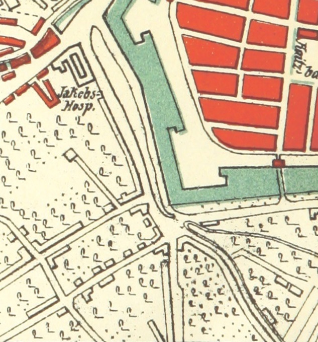
Deutsch: Dippoldiswalder Platz im Jahr 1549 |
| Date | |
| Source | File:Dresden planskizze6 1549.jpg |
| Author | Unknown author |
| Object location | | View this and other nearby images on: OpenStreetMap |
|---|
Licensing
edit
|
This work is in the public domain in its country of origin and other countries and areas where the copyright term is the author's life plus 70 years or fewer. This work is in the public domain in the United States because it was published (or registered with the U.S. Copyright Office) before January 1, 1929. | |
| This file has been identified as being free of known restrictions under copyright law, including all related and neighboring rights. | |
File history
Click on a date/time to view the file as it appeared at that time.
| Date/Time | Thumbnail | Dimensions | User | Comment | |
|---|---|---|---|---|---|
| current | 17:49, 21 July 2015 | | 633 × 679 (171 KB) | Hgzh (talk | contribs) | User created page with UploadWizard |
You cannot overwrite this file.
File usage on Commons
There are no pages that use this file.
File usage on other wikis
The following other wikis use this file:
- Usage on de.wikipedia.org