File:Distance road sign in Westcliffe, Colorado.JPG
Size of this preview: 800 × 576 pixels. Other resolutions: 320 × 231 pixels | 640 × 461 pixels | 1,024 × 738 pixels | 1,280 × 922 pixels | 2,560 × 1,845 pixels | 4,291 × 3,092 pixels.
Original file (4,291 × 3,092 pixels, file size: 10 MB, MIME type: image/jpeg)
Captions
Captions
Add a one-line explanation of what this file represents
Summary
edit
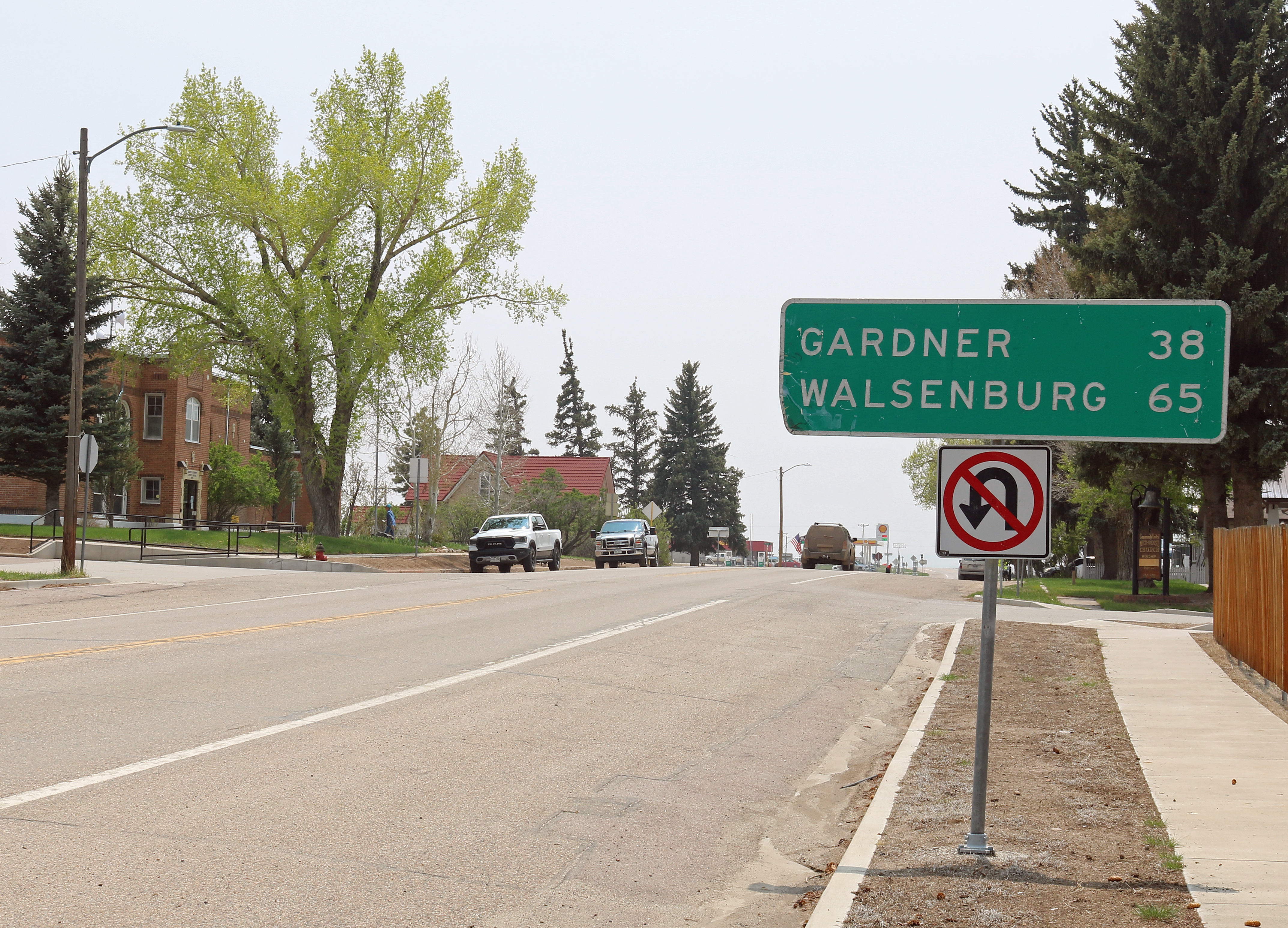
| Description | A distance road sign indicating distances to Gardner and Walsenburg, Colorado located along South 6th Street (which is also Colorado State Highway 69) in Westcliffe, Colorado. |
| Date | Taken on 22 May 2023 |
| Source | Own work |
| Author | Jeffrey Beall |
| Object location | | View this and other nearby images on: OpenStreetMap |
|---|
Licensing
edit
I, the copyright holder of this work, hereby publish it under the following license:
This file is licensed under the Creative Commons Attribution 4.0 International license.
- You are free:
- to share – to copy, distribute and transmit the work
- to remix – to adapt the work
- Under the following conditions:
- attribution – You must give appropriate credit, provide a link to the license, and indicate if changes were made. You may do so in any reasonable manner, but not in any way that suggests the licensor endorses you or your use.
File history
Click on a date/time to view the file as it appeared at that time.
| Date/Time | Thumbnail | Dimensions | User | Comment | |
|---|---|---|---|---|---|
| current | 00:46, 24 May 2023 | | 4,291 × 3,092 (10 MB) | Jeffrey Beall (talk | contribs) | {{Information |Description=A distance road sign indicating distances to Gardner and Walsenburg, Colorado located along South 6th Street (which is also {{W|Colorado State Highway 69}} in {{W|Westcliffe, Colorado}}. |Source={{own}} |Date={{taken on|2023-05-22|location=United States}} |Author= Jeffrey Beall |Permission= |other_versions= }} {{Object location|38|8|6.46|N|105|27|50|W}} Category:Distance road signs in Colorado Category:Westcliffe, Colorado [[Category:C... |
You cannot overwrite this file.
File usage on Commons
There are no pages that use this file.