File:Disused pit above Sibdon Farm - geograph.org.uk - 962964.jpg
No higher resolution available.
Disused_pit_above_Sibdon_Farm_-_geograph.org.uk_-_962964.jpg (640 × 480 pixels, file size: 115 KB, MIME type: image/jpeg)
Captions
Captions
Add a one-line explanation of what this file represents
Summary edit
| Description |
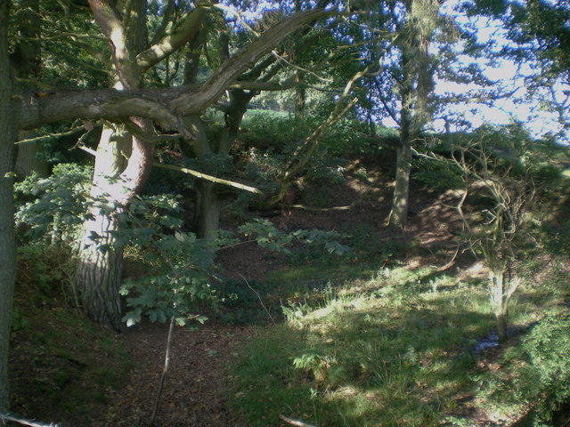
English: Disused pit above Sibdon Farm This pit isn't marked on the 1:50,000 map, although it's evident on the 1:25,000. There's a small brick structure in the far north end, but it's not clear what the pit was used for. It's about 20m long, by 10m wide and 4 to 5m deep at the back where it's dug into the hillside. |
| Date | |
| Source | From geograph.org.uk |
| Author | Richard Law |
| Attribution (required by the license) | Richard Law / Disused pit above Sibdon Farm / |
| Camera location | | View this and other nearby images on: OpenStreetMap |
|---|
_heading:0.00&language=en)
| Object location | | View this and other nearby images on: OpenStreetMap |
|---|
_heading:0.00&language=en)
Licensing edit

|
This image was taken from the Geograph project collection. See this photograph's page on the Geograph website for the photographer's contact details. The copyright on this image is owned by Richard Law and is licensed for reuse under the Creative Commons Attribution-ShareAlike 2.0 license.
|
This file is licensed under the Creative Commons Attribution-Share Alike 2.0 Generic license.
Attribution: Richard Law
- You are free:
- to share – to copy, distribute and transmit the work
- to remix – to adapt the work
- Under the following conditions:
- attribution – You must give appropriate credit, provide a link to the license, and indicate if changes were made. You may do so in any reasonable manner, but not in any way that suggests the licensor endorses you or your use.
- share alike – If you remix, transform, or build upon the material, you must distribute your contributions under the same or compatible license as the original.

|
The categories of this image need checking. You can do so here.
|
File history
Click on a date/time to view the file as it appeared at that time.
| Date/Time | Thumbnail | Dimensions | User | Comment | |
|---|---|---|---|---|---|
| current | 16:34, 22 February 2011 | | 640 × 480 (115 KB) | GeographBot (talk | contribs) | == {{int:filedesc}} == {{Information |description={{en|1=Disused pit above Sibdon Farm This pit isn't marked on the 1:50,000 map, although it's evident on the 1:25,000. There's a small brick structure in the far north end, but it's not clear what the pit |
You cannot overwrite this file.
File usage on Commons
There are no pages that use this file.