File:Dixie Street West 701 site, McDoel Gardens.jpg
Size of this preview: 800 × 450 pixels. Other resolutions: 320 × 180 pixels | 640 × 360 pixels | 1,024 × 576 pixels | 1,280 × 720 pixels | 2,816 × 1,584 pixels.
Original file (2,816 × 1,584 pixels, file size: 1.25 MB, MIME type: image/jpeg)
Captions
Captions
Add a one-line explanation of what this file represents
| Camera location | | View this and other nearby images on: OpenStreetMap |
|---|
| Description |
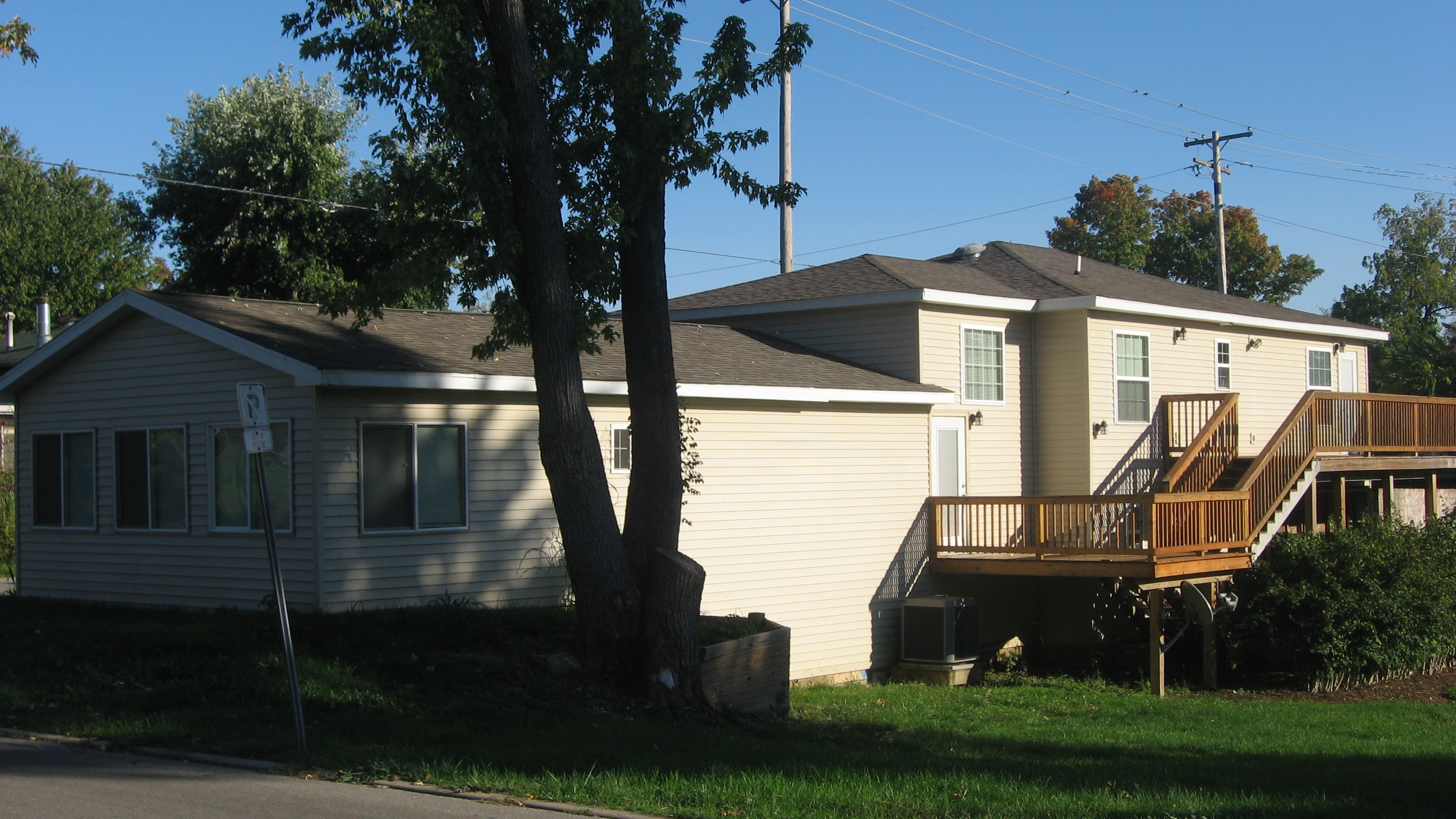
English: Front and eastern side of the house located at 701 W. Dixie Street in Bloomington, Indiana, United States. It occupies the site of an earlier house that was named part of the locally-designated McDoel Study Area. |
||
| Date | Taken on 28 September 2012 | ||
| Source | Own work | ||
| Author | Nyttend | ||
| Permission (Reusing this file) |
|
File history
Click on a date/time to view the file as it appeared at that time.
| Date/Time | Thumbnail | Dimensions | User | Comment | |
|---|---|---|---|---|---|
| current | 02:36, 17 October 2012 | | 2,816 × 1,584 (1.25 MB) | Nyttend (talk | contribs) | {{Location|39|9|23|N|86|32|28.4|W}} {{Information |Description={{en|Front and eastern side of the house located at 701 W. Dixie Street in {{w|Bloomington, Indiana|Bloomington}}, {{w|Indiana}}, {{w|United States}}. It occupies the site of an earlier ho... |
You cannot overwrite this file.
File usage on Commons
There are no pages that use this file.