File:Djanet la tadrarte.JPG
Size of this preview: 800 × 433 pixels. Other resolutions: 320 × 173 pixels | 640 × 347 pixels | 1,024 × 555 pixels | 1,280 × 693 pixels | 2,560 × 1,387 pixels | 4,244 × 2,299 pixels.
Original file (4,244 × 2,299 pixels, file size: 2.22 MB, MIME type: image/jpeg)
Captions
Captions
Add a one-line explanation of what this file represents
Summary edit
| Description |
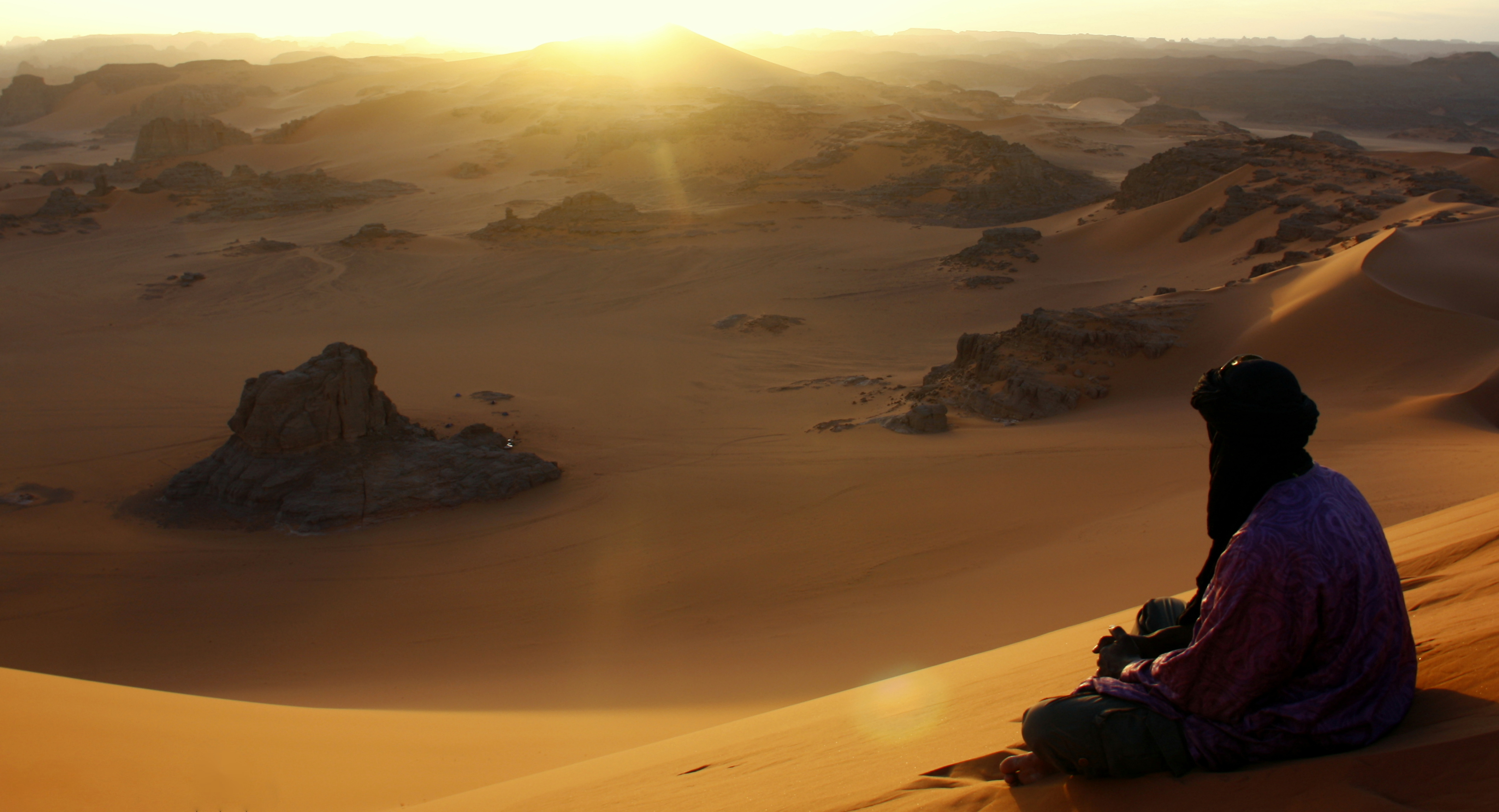
English: Tuareg on the dune of Timerzouga, place named Tadrart in the town of Djanet, wilaya of Ilizi 20km from the Algerian-Libyan border (Cultural Park of Tassili). Français : Tuareg sur la dune de Timerzouga, a Tadrart dans la commune de Djanet, wilaya d'Ilizi a 20km des frontière algéro-libienne (Parc culturel du Tassili). |
| Date | |
| Source | Own work |
| Author | Hamdanmourad |
| Object location | | View this and other nearby images on: OpenStreetMap |
|---|
Licensing edit
I, the copyright holder of this work, hereby publish it under the following license:
This file is licensed under the Creative Commons Attribution-Share Alike 3.0 Unported license.
- You are free:
- to share – to copy, distribute and transmit the work
- to remix – to adapt the work
- Under the following conditions:
- attribution – You must give appropriate credit, provide a link to the license, and indicate if changes were made. You may do so in any reasonable manner, but not in any way that suggests the licensor endorses you or your use.
- share alike – If you remix, transform, or build upon the material, you must distribute your contributions under the same or compatible license as the original.
This image was uploaded as part of Wiki Loves Earth 2015.
|
 |
File history
Click on a date/time to view the file as it appeared at that time.
| Date/Time | Thumbnail | Dimensions | User | Comment | |
|---|---|---|---|---|---|
| current | 22:38, 19 May 2015 | | 4,244 × 2,299 (2.22 MB) | Hamdanmourad (talk | contribs) | User created page with UploadWizard |
You cannot overwrite this file.
File usage on Commons
The following 2 pages use this file:
File usage on other wikis
The following other wikis use this file:
- Usage on ar.wikipedia.org
- Usage on gcr.wikipedia.org