File:Dlouhá stoka pod Novou Vsí březen 2019 (1).jpg
![File:Dlouhá stoka pod Novou Vsí březen 2019 (1).jpg](https://upload.wikimedia.org/wikipedia/commons/thumb/9/9a/Dlouh%C3%A1_stoka_pod_Novou_Vs%C3%AD_b%C5%99ezen_2019_%281%29.jpg/800px-Dlouh%C3%A1_stoka_pod_Novou_Vs%C3%AD_b%C5%99ezen_2019_%281%29.jpg?20190323234731)
Size of this preview: 800 × 450 pixels. Other resolutions: 320 × 180 pixels | 640 × 360 pixels | 1,024 × 576 pixels | 1,280 × 720 pixels | 3,456 × 1,944 pixels.
Original file (3,456 × 1,944 pixels, file size: 5.47 MB, MIME type: image/jpeg)
File information
Structured data
Captions
Captions
Add a one-line explanation of what this file represents
Summary
editDescriptionDlouhá stoka pod Novou Vsí březen 2019 (1).jpg |
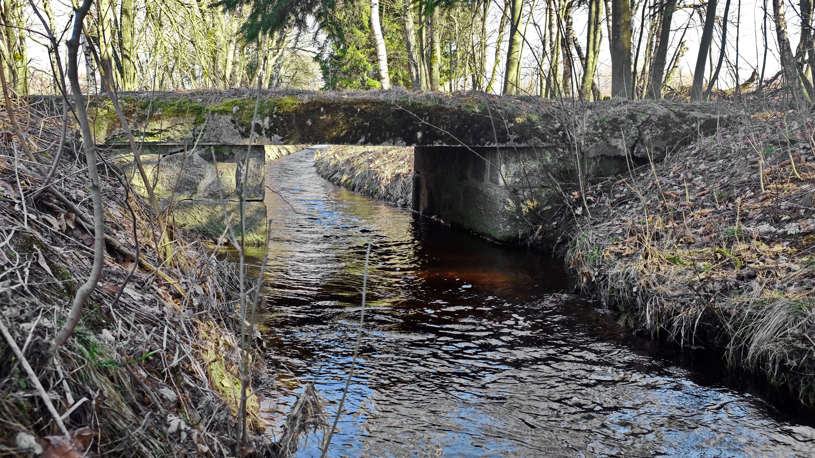
Čeština: Dlouhá stoka pod Novou Vsí, Slavkovský les, okres Sokolov |
Date | |
Source | Own work |
Author | Lubor Ferenc |
Permission (Reusing this file) |
I, the copyright holder of this work, hereby publish it under the following license: ![]() ![]() ![]() This file is licensed under the Creative Commons Attribution-Share Alike 4.0 International license.
|
Camera location | 50° 04′ 50.39″ N, 12° 45′ 44.95″ E ![]() | View this and other nearby images on: OpenStreetMap | ![]() |
---|
File history
Click on a date/time to view the file as it appeared at that time.
Date/Time | Thumbnail | Dimensions | User | Comment | |
---|---|---|---|---|---|
current | 23:47, 23 March 2019 | ![]() | 3,456 × 1,944 (5.47 MB) | Lubor Ferenc (talk | contribs) | User created page with UploadWizard |
You cannot overwrite this file.
File usage on Commons
There are no pages that use this file.
Metadata
This file contains additional information such as Exif metadata which may have been added by the digital camera, scanner, or software program used to create or digitize it. If the file has been modified from its original state, some details such as the timestamp may not fully reflect those of the original file. The timestamp is only as accurate as the clock in the camera, and it may be completely wrong.
Camera manufacturer | FUJIFILM |
---|---|
Camera model | X100T |
Exposure time | 1/80 sec (0.0125) |
F-number | f/5.6 |
ISO speed rating | 200 |
Date and time of data generation | 14:42, 23 March 2019 |
Lens focal length | 23 mm |
Latitude | 50° 4′ 50.39″ N |
Altitude | 829.2 meters above sea level |
Longitude | 12° 45′ 44.95″ E |
City shown | Kyselka |
Orientation | Normal |
Horizontal resolution | 240 dpi |
Vertical resolution | 240 dpi |
Software used | ACDSee Pro 8 |
File change date and time | 14:42, 23 March 2019 |
Y and C positioning | Centered |
Exposure Program | Aperture priority |
Exif version | 2.3 |
Date and time of digitizing | 14:42, 23 March 2019 |
Meaning of each component |
|
Image compression mode | 4.8 |
APEX shutter speed | 6.38 |
APEX aperture | 5 |
APEX brightness | 5.04 |
APEX exposure bias | −0.67 |
Maximum land aperture | 2 APEX (f/2) |
Metering mode | Pattern |
Light source | Unknown |
Flash | Flash did not fire, compulsory flash suppression |
DateTime subseconds | 990 |
Supported Flashpix version | 1 |
Color space | sRGB |
Focal plane X resolution | 1,477 |
Focal plane Y resolution | 1,477 |
Focal plane resolution unit | 3 |
Sensing method | One-chip color area sensor |
File source | Digital still camera |
Scene type | A directly photographed image |
Custom image processing | Normal process |
Exposure mode | Auto exposure |
White balance | Auto white balance |
Scene capture type | Standard |
Sharpness | Normal |
Subject distance range | Unknown |
GPS tag version | 0.0.2.2 |
Supported Flashpix version | 1 |
Geodetic survey data used | WGS-84 |
GPS date | 13:42, 23 March 2019 |
Image width | 3,456 px |
Image height | 1,944 px |
Compression scheme | JPEG (old) |
Keywords |
|
Code for country shown | CZE |
Sublocation of city shown | Nová Ves |
Country shown | Česká republika |
IIM version | 4 |