File:DoiPui2.jpg
Size of this preview: 399 × 599 pixels. Other resolutions: 160 × 240 pixels | 319 × 480 pixels | 850 × 1,277 pixels.
Original file (850 × 1,277 pixels, file size: 491 KB, MIME type: image/jpeg)
Captions
Captions
Add a one-line explanation of what this file represents
Summary
edit
| Description |
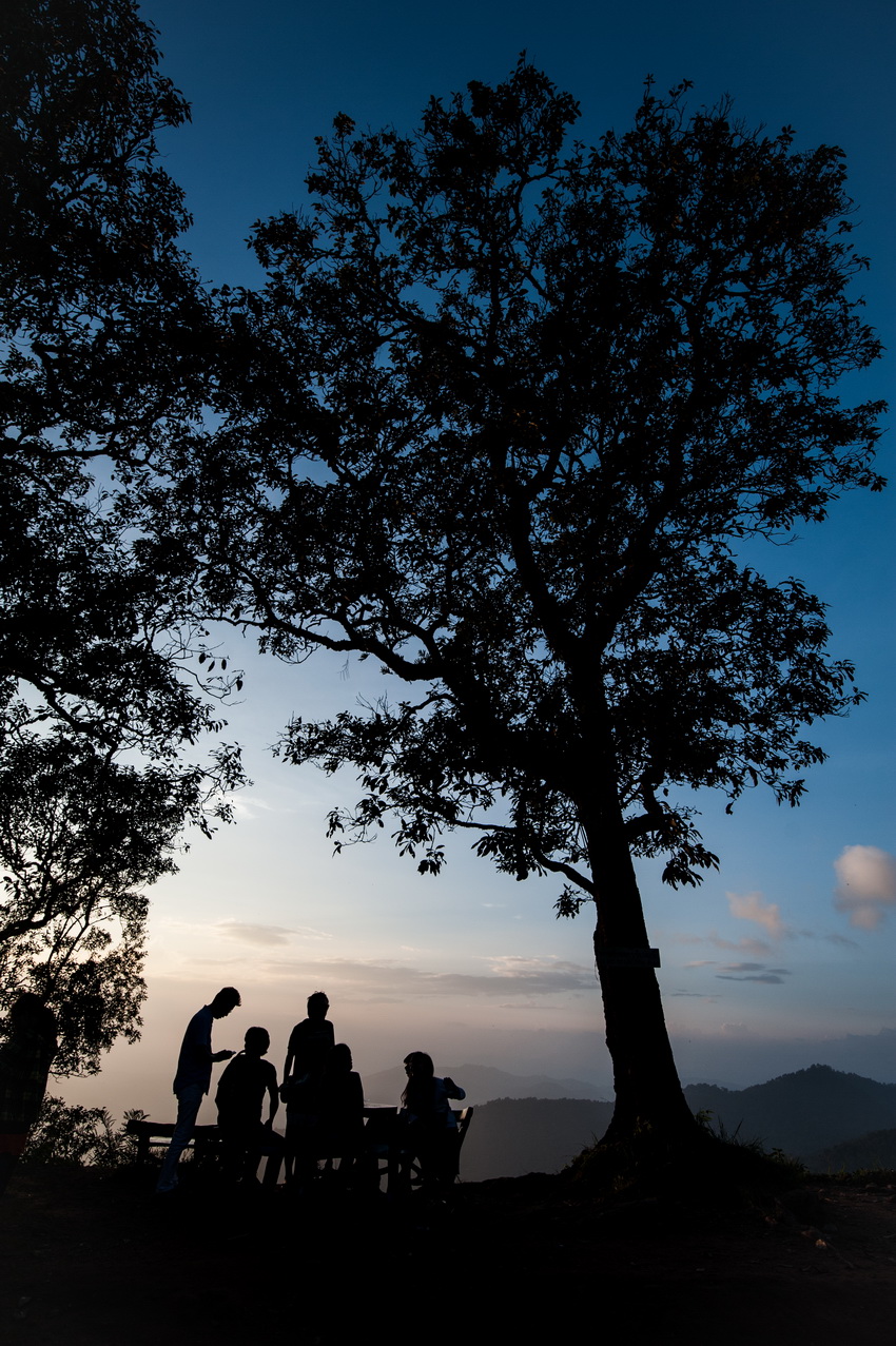
English: Doi Pui is the highest mountain located above Doi Suthep. The way to Doi Pui is the same way as to Doi Suthep and Pratumnak Bhuping Rajanives Palace. The junction to Doi Pui turns left before entering the way to Pratumnak Bhuping Rajanives Palace. It is about 3 Kilometers from the junction. It is the location of Hmong or Meo Hill Tribes village. Later the Royal Project was developed to become a tourist attraction with local products, clothes, ornaments, food and souvenirs and with a museum concerning Hmong Ethnicicity, etc. It is a favorite tourist attraction that tourists visit especially during the winter. |
| Date | |
| Source | Own work |
| Author | LannaPhoto |
Licensing
edit
I, the copyright holder of this work, hereby publish it under the following license:
This file is licensed under the Creative Commons Attribution-Share Alike 4.0 International license.
- You are free:
- to share – to copy, distribute and transmit the work
- to remix – to adapt the work
- Under the following conditions:
- attribution – You must give appropriate credit, provide a link to the license, and indicate if changes were made. You may do so in any reasonable manner, but not in any way that suggests the licensor endorses you or your use.
- share alike – If you remix, transform, or build upon the material, you must distribute your contributions under the same or compatible license as the original.
File history
Click on a date/time to view the file as it appeared at that time.
| Date/Time | Thumbnail | Dimensions | User | Comment | |
|---|---|---|---|---|---|
| current | 15:12, 18 August 2014 | | 850 × 1,277 (491 KB) | LannaPhoto (talk | contribs) | User created page with UploadWizard |
You cannot overwrite this file.
File usage on Commons
There are no pages that use this file.