File:Dominicana Locator.png
No higher resolution available.
Dominicana_Locator.png (351 × 328 pixels, file size: 6 KB, MIME type: image/png)
Captions
Captions
Add a one-line explanation of what this file represents
| Description |
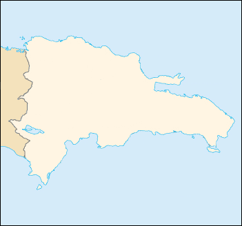
English: Blank map of the Dominican Republic |
| Date | |
| Source | CIA World Factbook |
| Author |
|

|
This locator map image could be re-created using vector graphics as an SVG file. This has several advantages; see Commons:Media for cleanup for more information. If an SVG form of this image is available, please upload it and afterwards replace this template with
{{vector version available|new image name}}.
It is recommended to name the SVG file “Dominicana Locator.svg”—then the template Vector version available (or Vva) does not need the new image name parameter. |
This image is in the public domain because it contains materials that originally came from the United States Central Intelligence Agency's World Factbook.
|
 |
File history
Click on a date/time to view the file as it appeared at that time.
| Date/Time | Thumbnail | Dimensions | User | Comment | |
|---|---|---|---|---|---|
| current | 21:28, 2 June 2007 | | 351 × 328 (6 KB) | Obersachse (talk | contribs) | {{Information |Description= |Source= |Date=2007-06-01 |Author=user:Obersachse |Permission= |other_versions= }} {{PD-USGov-CIA-WF}} |
You cannot overwrite this file.
File usage on Commons
The following page uses this file:
File usage on other wikis
The following other wikis use this file:
- Usage on de.wikipedia.org
- Usage on fr.wikipedia.org
- Usage on ro.wikipedia.org
- Usage on sah.wikipedia.org
- Usage on tr.wikipedia.org
- Usage on yo.wikipedia.org
- Usage on zh.wikipedia.org