File:Dorian Jul 24 2013 1445Z.png
Size of this preview: 800 × 450 pixels. Other resolutions: 320 × 180 pixels | 640 × 360 pixels | 1,024 × 576 pixels | 1,280 × 720 pixels | 2,048 × 1,152 pixels.
Original file (2,048 × 1,152 pixels, file size: 3.17 MB, MIME type: image/png)
Captions
Captions
Add a one-line explanation of what this file represents
Summary
edit
| Description |
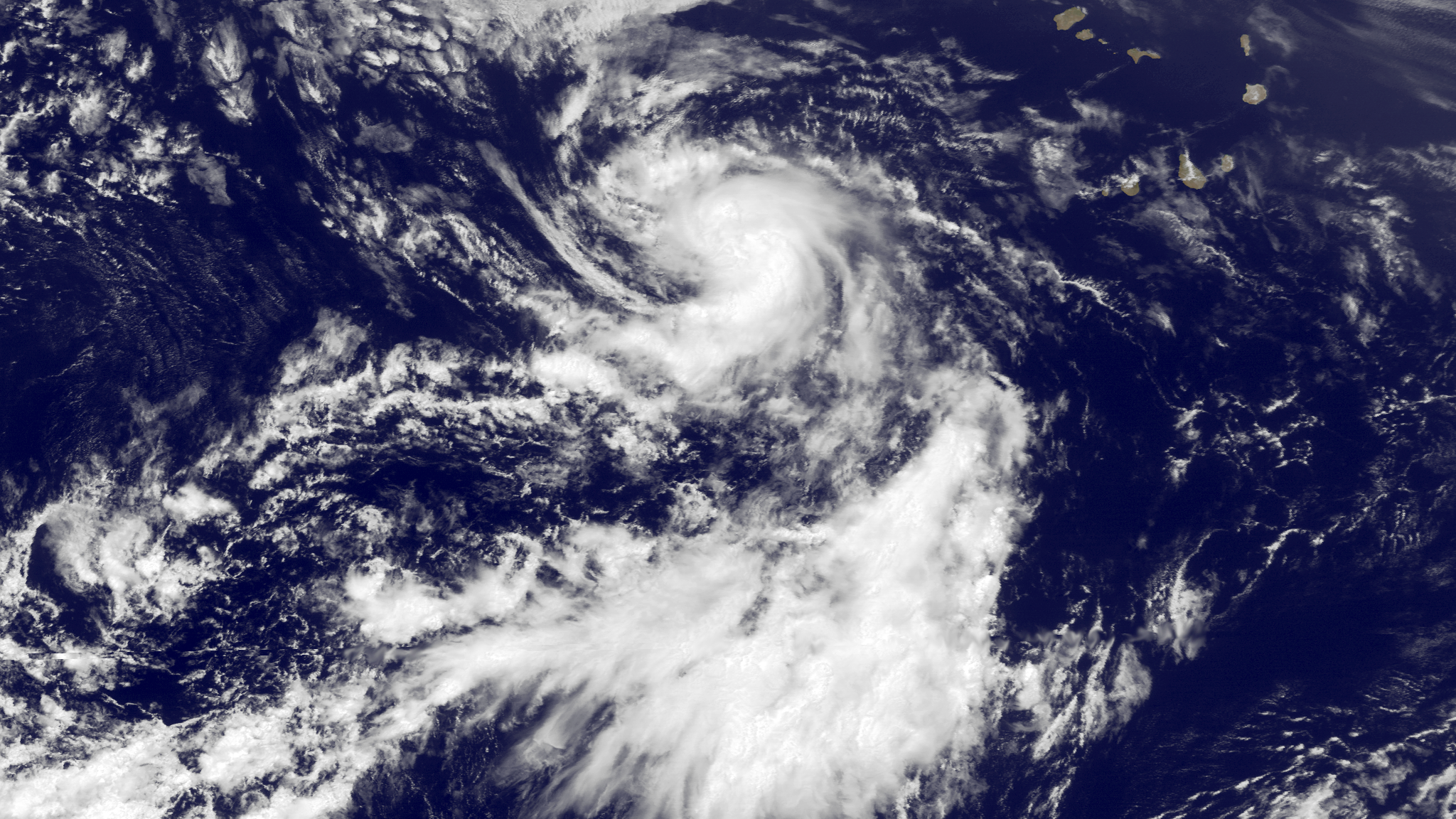
English: Tropical Storm Dorian is located southwest of the Cape Verde Islands in the Atlantic Ocean, moving westward at 18 knots. Conditions are modestly favorable for strengthening in the next 24 hours before the storm begins to encounter lower sea surface temperatures in 24 - 48 hours, which could lead to some slight weakening. This image was taken by GOES East at 1445Z on July 24, 2013. |
| Date | |
| Source | http://www.nnvl.noaa.gov/MediaDetail2.php?MediaID=1392&MediaTypeID=1 |
| Author | The National Oceanic and Atmospheric Administration |
Licensing
edit
This image is in the public domain because it contains materials that originally came from the U.S. National Oceanic and Atmospheric Administration, taken or made as part of an employee's official duties.
|
File history
Click on a date/time to view the file as it appeared at that time.
| Date/Time | Thumbnail | Dimensions | User | Comment | |
|---|---|---|---|---|---|
| current | 17:15, 24 July 2013 | | 2,048 × 1,152 (3.17 MB) | Supportstorm (talk | contribs) | {{Information |Description ={{en|1=Tropical Storm Dorian is located southwest of the Cape Verde Islands in the Atlantic Ocean, moving westward at 18 knots. Conditions are modestly favorable for strengthening in the next 24 hours before the storm beg... |
You cannot overwrite this file.
File usage on Commons
There are no pages that use this file.