File:Douglas Municipal Airport AZ - 8 Oct 1996.jpg
No higher resolution available.
Douglas_Municipal_Airport_AZ_-_8_Oct_1996.jpg (496 × 493 pixels, file size: 119 KB, MIME type: image/jpeg)
Captions
Captions
Add a one-line explanation of what this file represents
|
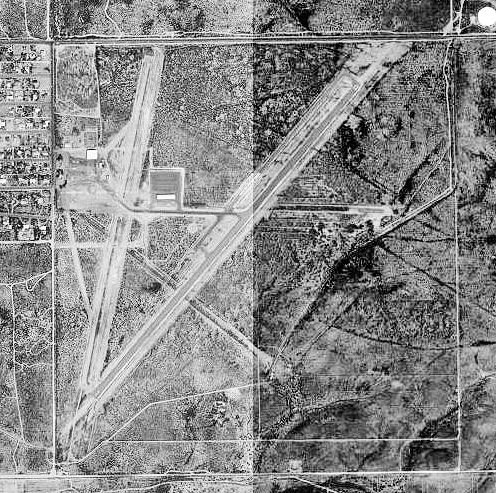
This is an image of a place or building that is listed on the National Register of Historic Places in the United States of America. Its reference number is 75000336. |
Summary edit
| Description | |
| Date | |
| Source |
USGS The National Map, via MSR Maps (formerly TerraServer-USA) |
| Author | United States Geological Survey (USGS) |
| Permission (Reusing this file) |
Public domain |
| Other versions |
|

| Object location | | View this and other nearby images on: OpenStreetMap |
|---|
Licensing edit
This image is in the public domain in the United States because it only contains materials that originally came from the United States Geological Survey, an agency of the United States Department of the Interior. For more information, see the official USGS copyright policy.
|
File history
Click on a date/time to view the file as it appeared at that time.
| Date/Time | Thumbnail | Dimensions | User | Comment | |
|---|---|---|---|---|---|
| current | 22:59, 16 April 2008 | | 496 × 493 (119 KB) | Bwmoll3 (talk | contribs) | {{Information |Description=Douglas Municipal Airport, Arizona |Source=US Geological Survey via terraserver, http://terraserver-usa.com/map.aspx?t=1&s=11&lon=-109.506389&lat=31.3425&w=600&h=400 |Date=8 Oct 1996 |Author=USGS |Permission=USGOV-PD |other_vers |
You cannot overwrite this file.
File usage on Commons
The following page uses this file:
File usage on other wikis
The following other wikis use this file:
- Usage on de.wikipedia.org
- Usage on en.wikipedia.org
- Usage on es.wikipedia.org
- Usage on pt.wikipedia.org