File:Drachten 6.09614E 53.11089N.jpg

Size of this preview: 800 × 599 pixels. Other resolutions: 320 × 240 pixels | 640 × 479 pixels | 1,024 × 766 pixels | 1,280 × 958 pixels.
Original file (1,280 × 958 pixels, file size: 159 KB, MIME type: image/jpeg)
Captions
Captions
Add a one-line explanation of what this file represents
Summary
edit
| Description |
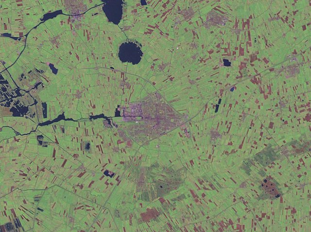
English: Drachten, Netherlands. Satellite view. |
| Date | 15 May 2005 (upload date) |
| Source | Satellite imagery taken from NASA World Wind software (by screenshot) |
| Author | NASA |
| Object location | | View this and other nearby images on: OpenStreetMap |
|---|
Licensing
edit
| This image is in the public domain because it is a screenshot from NASA’s globe software World Wind using a public domain layer, such as Blue Marble, MODIS, Landsat, SRTM, USGS or GLOBE.
|
 |
File history
Click on a date/time to view the file as it appeared at that time.
| Date/Time | Thumbnail | Dimensions | User | Comment | |
|---|---|---|---|---|---|
| current | 14:02, 15 May 2005 | | 1,280 × 958 (159 KB) | Rex (talk | contribs) | NASA World Wind screenshot. {{PD-USGov-NASA}} Category:Maps of The Netherlands |
You cannot overwrite this file.
File usage on Commons
There are no pages that use this file.
File usage on other wikis
The following other wikis use this file:
- Usage on fy.wikipedia.org
- Usage on nds-nl.wikipedia.org
- Usage on vo.wikipedia.org
- Usage on zea.wikipedia.org