File:Drawno (gmina) location map.png

Size of this preview: 754 × 600 pixels. Other resolutions: 302 × 240 pixels | 604 × 480 pixels | 966 × 768 pixels | 1,286 × 1,023 pixels.
Original file (1,286 × 1,023 pixels, file size: 114 KB, MIME type: image/png)
Captions
Captions
Add a one-line explanation of what this file represents
| Description |
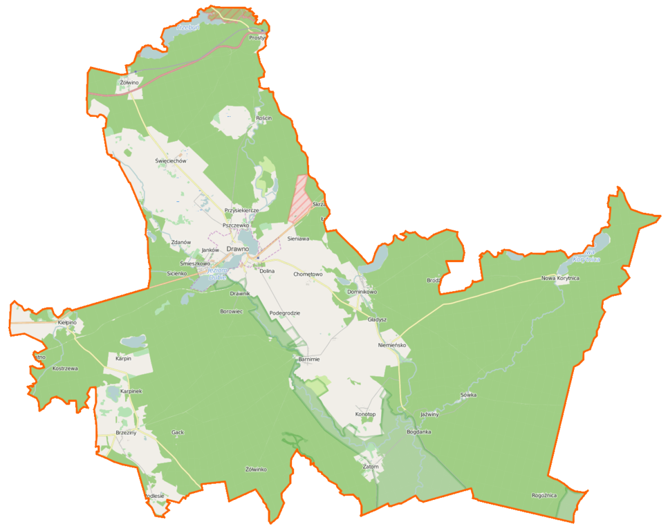
Polski: Mapa gminy Drawno, Polska
English: Map of Gmina Drawno, Poland |
|||||||||
| Date | ||||||||||
| Source | You may find a page on the OpenStreetMap wiki page for Drawno (gmina) | |||||||||
| Creator |
OpenStreetMap contributors OpenStreetMap contributors |
|||||||||
| Permission (Reusing this file) |
OpenStreetMap data is available under the Open Database License (details). Map tiles are licensed under the Creative Commons Attribution-ShareAlike 2.0 license (CC-BY-SA 2.0).
This file is licensed under the Creative Commons Attribution-Share Alike 2.0 Generic license.
|
|||||||||
| Geotemporal data | ||||||||||
| Bounding box |
|
|||||||||
| Georeferencing | If inappropriate please set warp_status = skip to hide. | |||||||||
File history
Click on a date/time to view the file as it appeared at that time.
| Date/Time | Thumbnail | Dimensions | User | Comment | |
|---|---|---|---|---|---|
| current | 07:12, 25 February 2015 | | 1,286 × 1,023 (114 KB) | VanWiel (talk | contribs) | {{OpenStreetMap | name = Drawno (gmina) | location = Drawno (gmina) | description = {{pl|Mapa gminy Drawno, Polska}} {{en|Map of Gmina Drawno, Poland}} | top = 53.3171 | bottom = 53.1070 | left... |
You cannot overwrite this file.
File usage on Commons
There are no pages that use this file.
File usage on other wikis
The following other wikis use this file:
- Usage on be.wikipedia.org
- Usage on fr.wikipedia.org
- Barników
- Barnimie
- Bogdanka (Poméranie-Occidentale)
- Borki (Poméranie-Occidentale)
- Borowiec (Choszczno)
- Brac (Pologne)
- Brodźce (Poméranie-Occidentale)
- Brzeziny (Poméranie-Occidentale)
- Chomętowo (Choszczno)
- Dobrojewo (Poméranie-Occidentale)
- Dolina (Poméranie-Occidentale)
- Dominikowo
- Drawnik
- Gack
- Gładysz
- Janków (Poméranie-Occidentale)
- Jaźwiny (Choszczno)
- Karpin (Choszczno)
- Karpinek
- Kawczyn (Poméranie-Occidentale)
- Kępa (Poméranie-Occidentale)
- Kiełpino (Choszczno)
- Kolonia Kniewo
- Konotop (Choszczno)
- Kośnik (Poméranie-Occidentale)
- Kostrzewa (Choszczno)
- Maciejów (Poméranie-Occidentale)
- Międzybór
- Niemieńsko
- Niemieńsko-Zamek
- Nowa Korytnica
- Ostrożyce
- Podegrodzie (Poméranie-Occidentale)
- Podlesie (Choszczno)
- Prostynia (Choszczno)
- Przysiekiercze
- Pszczewko
- Rogoźnica (Poméranie-Occidentale)
- Rościn (Choszczno)
- Samborz (Poméranie-Occidentale)
- Sicienko (Choszczno)
- Sieniawa (Poméranie-Occidentale)
- Skrzaty
- Śmieszkowo (Poméranie-Occidentale)
- Święciechów
- Wiśniewo (Poméranie-Occidentale)
- Zacisze (Choszczno)
- Zalesie (Choszczno)
- Zatom
View more global usage of this file.
_location_map.png)
_location_map.png&oldid=519962012)