File:Drawsko Pomorskie location map.png
Original file (1,762 × 2,202 pixels, file size: 1.2 MB, MIME type: image/png)
Captions
Captions
Summary edit
| Description |
English: Location map |
| Date | |
| Source | Own work |
| Author | Smat |
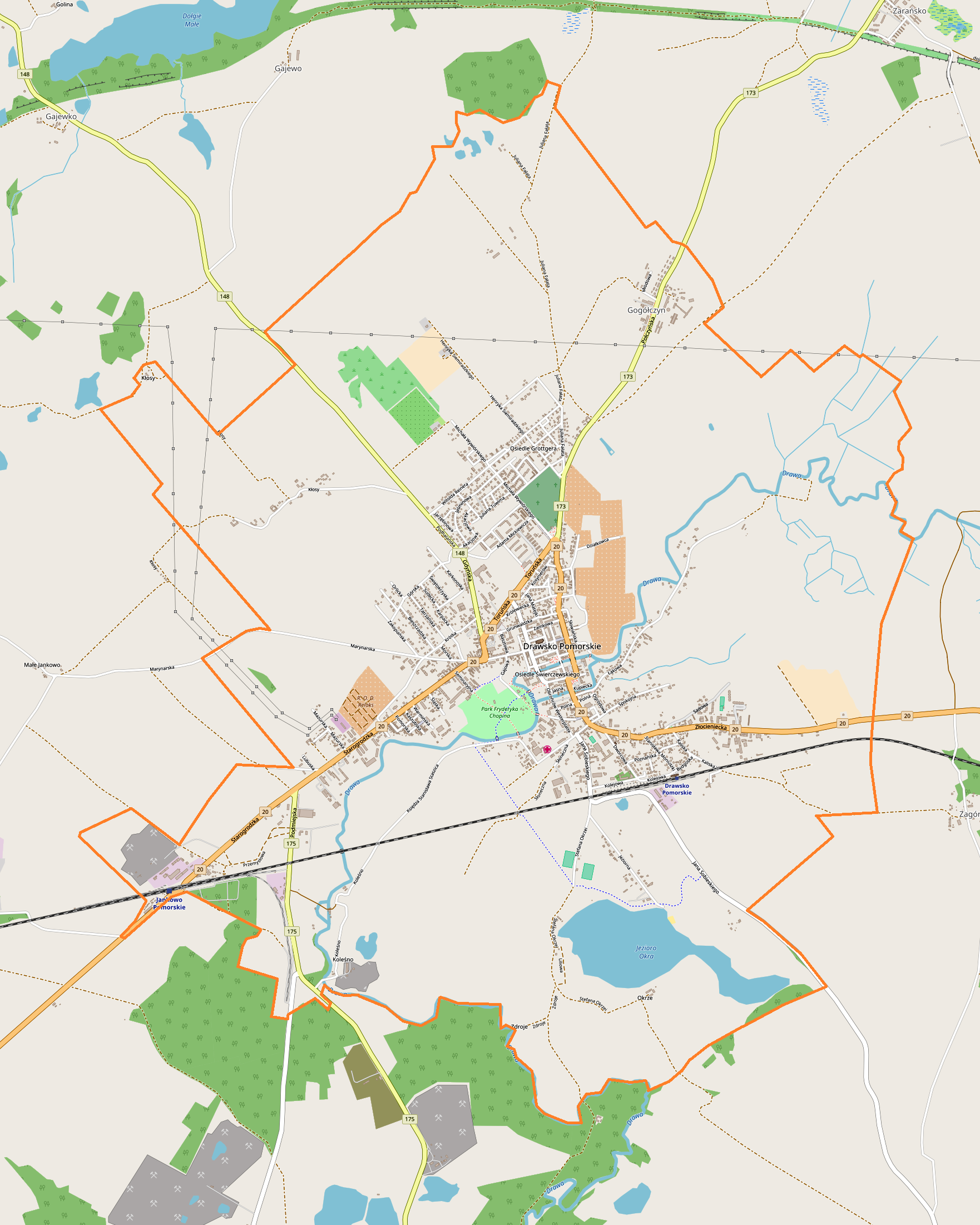
| Description |
Polski: Mapa Drawska Pomorskiego, Polska
English: Map of Drawsko Pomorskie, Poland |
|||||||||
| Date | ||||||||||
| Source | You may find a page on the OpenStreetMap wiki page for Drawsko Pomorskie | |||||||||
| Creator |
OpenStreetMap contributors OpenStreetMap contributors |
|||||||||
| Permission (Reusing this file) |
OpenStreetMap data is available under the Open Database License (details). Map tiles are licensed under the Creative Commons Attribution-ShareAlike 2.0 license (CC-BY-SA 2.0).
This file is licensed under the Creative Commons Attribution-Share Alike 2.0 Generic license.
|
|||||||||
| Geotemporal data | ||||||||||
| Bounding box |
|
|||||||||
| Georeferencing | If inappropriate please set warp_status = skip to hide. | |||||||||
Licensing edit
| This work contains information from OpenStreetMap, which is made available under the Open Database License (ODbL).
The ODbL does not require any particular license for maps produced from ODbL data. Prior to 1 August 2020, map tiles produced by the OpenStreetMap Foundation were licensed under the CC-BY-SA-2.0 license. Maps produced by other people may be subject to other licences. |
File history
Click on a date/time to view the file as it appeared at that time.
| Date/Time | Thumbnail | Dimensions | User | Comment | |
|---|---|---|---|---|---|
| current | 14:11, 16 December 2017 | | 1,762 × 2,202 (1.2 MB) | Smat (talk | contribs) | User created page with UploadWizard |
You cannot overwrite this file.
File usage on Commons
There are no pages that use this file.
File usage on other wikis
The following other wikis use this file:
- Usage on pl.wikipedia.org
- Cmentarz żydowski w Drawsku Pomorskim
- Ratusz w Drawsku Pomorskim
- Drawsko Pomorskie (stacja kolejowa)
- Gogółczyn
- Jankowo Pomorskie
- Parafia Zmartwychwstania Pańskiego w Drawsku Pomorskim
- Parafia św. Pawła Apostoła w Drawsku Pomorskim
- Drawsko Pomorskie Wąskotorowe
- Jankowo Pomorskie Wąskotorowe
- Kościół św. Pawła Apostoła w Drawsku Pomorskim
- Kościół Zmartwychwstania Pańskiego w Drawsku Pomorskim
- Dawny kościół baptystyczny w Drawsku Pomorskim
- Powiatowy Urząd Bezpieczeństwa Publicznego w Drawsku Pomorskim
- Moduł:Mapa/dane/Drawsko Pomorskie
- Cmentarz wojenny w Drawsku Pomorskim
- Usage on pl.wikibooks.org
- Usage on pt.wikipedia.org