File:Durham Station (geograph 5711330).jpg

Size of this preview: 800 × 581 pixels. Other resolutions: 320 × 232 pixels | 640 × 465 pixels | 1,024 × 744 pixels | 1,280 × 930 pixels | 1,600 × 1,162 pixels.
Original file (1,600 × 1,162 pixels, file size: 518 KB, MIME type: image/jpeg)
Captions
Captions
Add a one-line explanation of what this file represents
Summary
edit.jpg&action=edit§ion=1)
| Description |
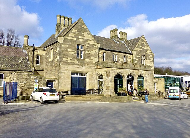
English: Durham Station |
| Date | |
| Source | https://www.geograph.org.uk/photo/5711330 |
| Author | Russel Wills |
| Permission (Reusing this file) |
Creative Commons Attribution Share-alike license 2.0 |
| Attribution (required by the license) | Russel Wills / Durham Station / |
| Camera location | | View this and other nearby images on: OpenStreetMap |
|---|
.jpg¶ms=054.778957_N_-001.581523_E_globe:Earth_type:camera_source:geograph-osgb36(NZ2701542752)_heading:0.00&language=en)
| Object location | | View this and other nearby images on: OpenStreetMap |
|---|
.jpg¶ms=054.779210_N_-001.581600_E_globe:Earth_class:object_type:object_source:geograph-osgb36(NZ27014278)_heading:0.00&language=en)
Licensing
edit.jpg&action=edit§ion=2)

|
This image was taken from the Geograph project collection. See this photograph's page on the Geograph website for the photographer's contact details. The copyright on this image is owned by Russel Wills and is licensed for reuse under the Creative Commons Attribution-ShareAlike 2.0 license.
|
This file is licensed under the Creative Commons Attribution-Share Alike 2.0 Generic license.
Attribution: Russel Wills
- You are free:
- to share – to copy, distribute and transmit the work
- to remix – to adapt the work
- Under the following conditions:
- attribution – You must give appropriate credit, provide a link to the license, and indicate if changes were made. You may do so in any reasonable manner, but not in any way that suggests the licensor endorses you or your use.
- share alike – If you remix, transform, or build upon the material, you must distribute your contributions under the same or compatible license as the original.

|
This file, which was originally posted to an external website, has not yet been reviewed by an administrator or reviewer to confirm that the above license is valid. See Category:License review needed for further instructions.
|
File history
Click on a date/time to view the file as it appeared at that time.
| Date/Time | Thumbnail | Dimensions | User | Comment | |
|---|---|---|---|---|---|
| current | 14:59, 26 October 2023 | | 1,600 × 1,162 (518 KB) | Chocolateediter (talk | contribs) | Lighten |
| 02:53, 30 March 2023 |  | 1,600 × 1,162 (262 KB) | Bellminsterboy (talk | contribs) | == {{int:filedesc}} == {{Information |Description={{en|1=Durham Station}} |Source=From [https://www.geograph.org.uk/photo/5711330 geograph.org.uk] |Date=2018-02-25 |Author=[https://www.geograph.org.uk/profile/23874 Russel Wills] |Permission=Creative Commons Attribution Share-alike license 2.0 |Other fields={{Credit line |Author=Russel Wills |License=[https://creativecommons.org/licenses/by-sa/2.0/ CC BY-SA 2.0] |Other=''Durham Station'' }} }} {{Location|54.778957|-1.581523|source:geograph... |
You cannot overwrite this file.
File usage on Commons
The following 4 pages use this file:
File usage on other wikis
The following other wikis use this file:
- Usage on en.wikipedia.org
- Usage on zh.wikipedia.org
.jpg&oldid=815482183)