File:Dutton Point and Masonic Temple.jpg

Size of this preview: 800 × 522 pixels. Other resolutions: 320 × 209 pixels | 640 × 417 pixels | 1,024 × 668 pixels | 1,280 × 835 pixels | 2,560 × 1,670 pixels | 4,187 × 2,731 pixels.
Original file (4,187 × 2,731 pixels, file size: 3.48 MB, MIME type: image/jpeg)
Captions
Captions
Add a one-line explanation of what this file represents
Summary edit
| Description |
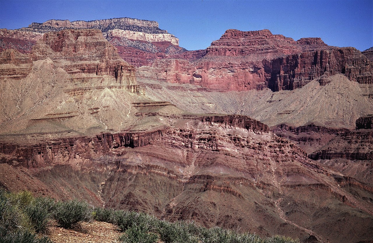
English: View north into Shinumo Creek canyon toward Masonic Temple and Dutton Point (upper left) from Tonto Trail, south of river mile 110.0. Mesoproterozoic Unkar Group of rocks dip northeast and are unconformably onlapped by Cambrian Tapeats Sandstone. |
| Date | |
| Source | https://www.sciencebase.gov/catalog/item/5c75aa4de4b0fe48cb4a59be |
| Author | George Billingsley, U.S. Geological Survey |
| Camera location | | View this and other nearby images on: OpenStreetMap |
|---|
Licensing edit
This image is in the public domain in the United States because it only contains materials that originally came from the United States Geological Survey, an agency of the United States Department of the Interior. For more information, see the official USGS copyright policy.
|
| Annotations | This image is annotated: View the annotations at Commons |
File history
Click on a date/time to view the file as it appeared at that time.
| Date/Time | Thumbnail | Dimensions | User | Comment | |
|---|---|---|---|---|---|
| current | 10:22, 1 February 2021 | | 4,187 × 2,731 (3.48 MB) | Ron Clausen (talk | contribs) | Uploaded a work by George Billingsley, U.S. Geological Survey from https://www.sciencebase.gov/catalog/item/5c75aa4de4b0fe48cb4a59be with UploadWizard |
You cannot overwrite this file.
File usage on Commons
There are no pages that use this file.
File usage on other wikis
The following other wikis use this file:
- Usage on en.wikipedia.org