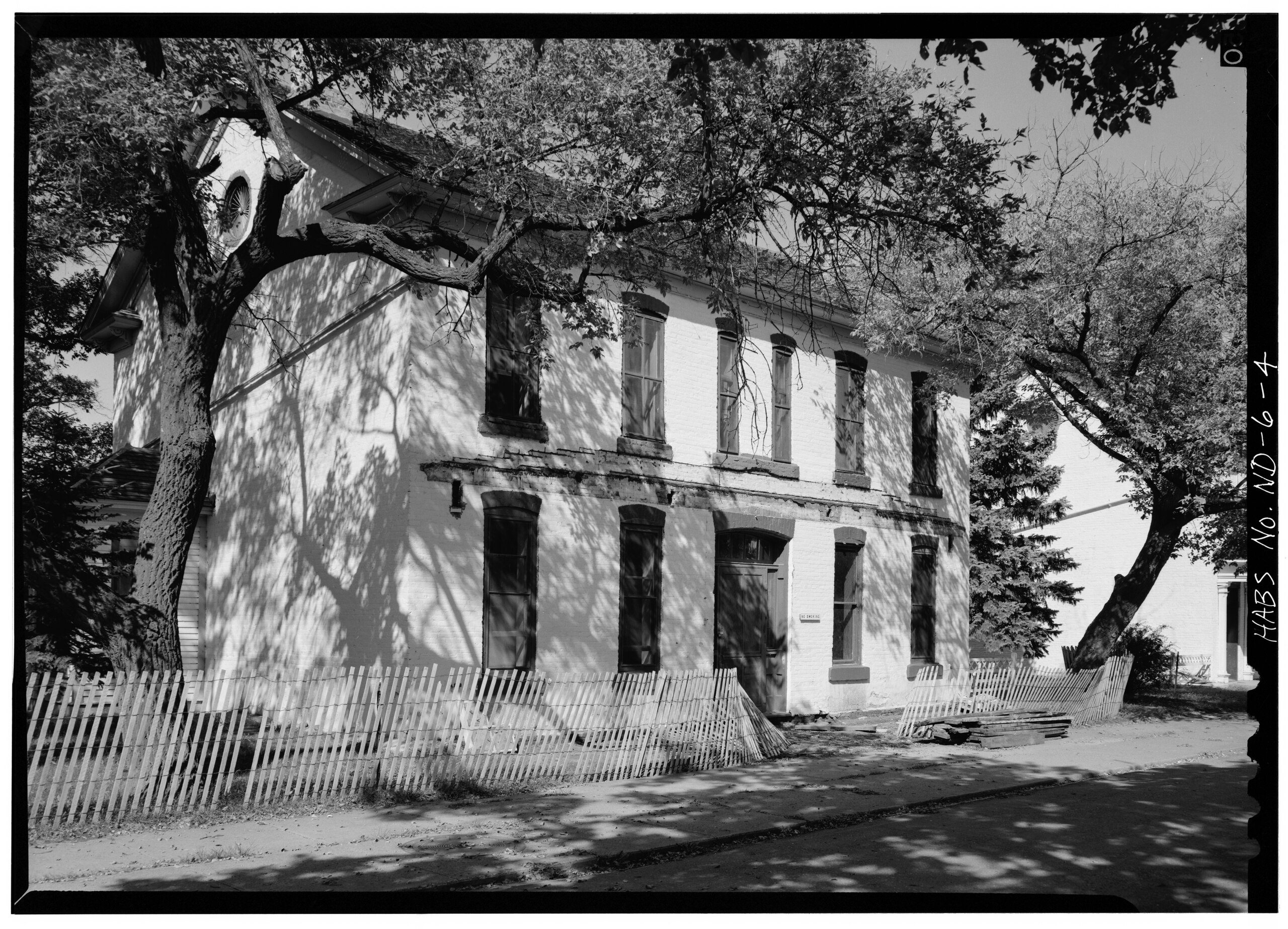
File:EAST ELEVATION, FROM SOUTHEAST - Fort Totten, Commanding Officers' Quarters, 12 miles southwest of Devils Lake City off Route 57, Devils Lake, Ramsey County, ND HABS ND,3-FOTO,1C-4.tif

Size of this JPG preview of this TIF file: 800 × 577 pixels. Other resolutions: 320 × 231 pixels | 640 × 462 pixels | 1,024 × 739 pixels | 1,280 × 923 pixels | 2,560 × 1,846 pixels | 5,000 × 3,606 pixels.
Original file (5,000 × 3,606 pixels, file size: 17.2 MB, MIME type: image/tiff)
Captions
Captions
Add a one-line explanation of what this file represents
Summary edit
| EAST ELEVATION, FROM SOUTHEAST - Fort Totten, Commanding Officers' Quarters, 12 miles southwest of Devils Lake City off Route 57, Devils Lake, Ramsey County, ND | ||||
|---|---|---|---|---|
| Photographer |
Related names:
|
|||
| Title |
EAST ELEVATION, FROM SOUTHEAST - Fort Totten, Commanding Officers' Quarters, 12 miles southwest of Devils Lake City off Route 57, Devils Lake, Ramsey County, ND |
|||
| Depicted place | North Dakota; Ramsey County; Devils Lake | |||
| Date | Documentation compiled after 1933 | |||
| Dimensions | 5 x 7 in. | |||
| Current location |
Library of Congress Prints and Photographs Division Washington, D.C. 20540 USA http://hdl.loc.gov/loc.pnp/pp.print |
|||
| Accession number |
HABS ND,3-FOTO,1C-4 |
|||
| Credit line |
|
|||
| Notes |
|
|||
| Source | https://www.loc.gov/pictures/item/nd0006.photos.103067p | |||
| Permission (Reusing this file) |
|
|||

| Object location | | View this and other nearby images on: OpenStreetMap |
|---|
File history
Click on a date/time to view the file as it appeared at that time.
| Date/Time | Thumbnail | Dimensions | User | Comment | |
|---|---|---|---|---|---|
| current | 00:36, 29 July 2014 |  | 5,000 × 3,606 (17.2 MB) | Fæ (talk | contribs) | GWToolset: Creating mediafile for Fæ. HABS 24 July 2014 (2001:2300) |
You cannot overwrite this file.
File usage on Commons
The following page uses this file: