File:Eaa2623 001 0002049 00014 k.jpg
Original file (2,480 × 1,628 pixels, file size: 2.92 MB, MIME type: image/jpeg)
Captions
Captions
Summary
edit
| Description |
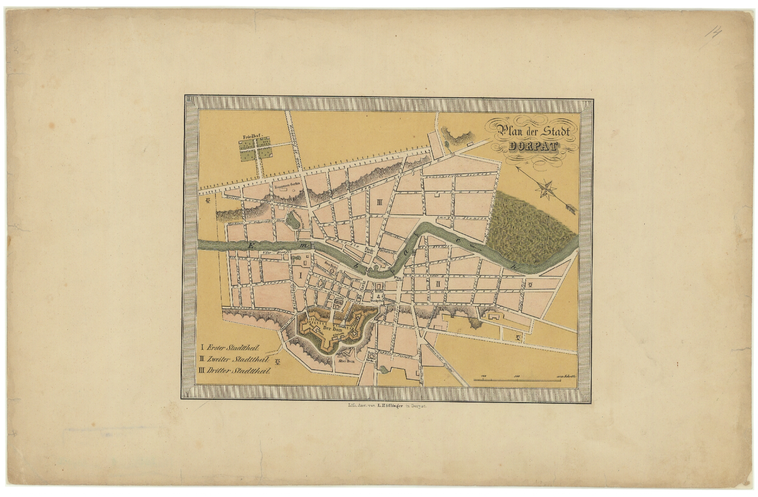
English: A map from Estonian National Archives with Reference code: EAA.2623.1.2049 sheet 14 Eesti: Kaart Eesti Rahvusarhiivist Lähtekoodiga: EAA.2623.1.2049 leht 14 |
| Date | |
| Source | http://www.ra.ee/kaardid/index.php/et/map/view?id=16383 |
| Author | Unknown author |
| Language | German |
| Map type | City Plan |
| Map sheet | Single sheet map |
| Map reproduction | Printed |
| Title | Deutsch: Plan der Stadt Dorpat |
| Map scale | 1:40700 |
| Accession number | EAA.2623.1.2049 sheet 14 |
| Dimensions | height: 23 cm (9 in); width: 36 cm (14.1 in) |
| Medium | print on paper |
Licensing
edit
|
This work is in the public domain in its country of origin and other countries and areas where the copyright term is the author's life plus 70 years or fewer.
| |
| This file has been identified as being free of known restrictions under copyright law, including all related and neighboring rights. | |
File history
Click on a date/time to view the file as it appeared at that time.
| Date/Time | Thumbnail | Dimensions | User | Comment | |
|---|---|---|---|---|---|
| current | 15:52, 4 September 2014 | | 2,480 × 1,628 (2.92 MB) | JLoide (talk | contribs) | User created page with UploadWizard |
You cannot overwrite this file.
File usage on Commons
The following page uses this file: