File:Eastbury, Westbury Road - geograph.org.uk - 1382196.jpg
No higher resolution available.
Eastbury,_Westbury_Road_-_geograph.org.uk_-_1382196.jpg (640 × 480 pixels, file size: 84 KB, MIME type: image/jpeg)
Captions
Captions
Add a one-line explanation of what this file represents
Summary edit
| Description |
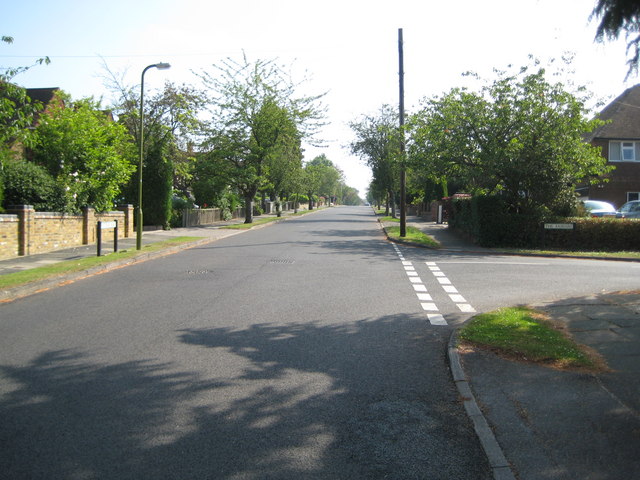
English: Eastbury: Westbury Road Yes this is Westbury Road in Eastbury...
The Ordnance Survey's 1:50,000 scale mapping shows a series of solid red circles along this road, meaning that it is an "Other route with public access (not normally shown in urban areas)". On the Ordnance Survey's 1:25,000 scale maps the same symbol is used but in solid green. Perhaps the road is historically a private one, but one for which there is a public right of way. There is certainly nothing to differentiate it from any other road. The houses on the left are probably at the very limit of the built-up area of London. On the right is The Fairway. |
| Date | |
| Source | From geograph.org.uk |
| Author | Nigel Cox |
| Attribution (required by the license) | Nigel Cox / Eastbury: Westbury Road / |
| Camera location | | View this and other nearby images on: OpenStreetMap |
|---|
_heading:45.00&language=en)
| Object location | | View this and other nearby images on: OpenStreetMap |
|---|
_heading:45.00&language=en)
Licensing edit

|
This image was taken from the Geograph project collection. See this photograph's page on the Geograph website for the photographer's contact details. The copyright on this image is owned by Nigel Cox and is licensed for reuse under the Creative Commons Attribution-ShareAlike 2.0 license.
|
This file is licensed under the Creative Commons Attribution-Share Alike 2.0 Generic license.
Attribution: Nigel Cox
- You are free:
- to share – to copy, distribute and transmit the work
- to remix – to adapt the work
- Under the following conditions:
- attribution – You must give appropriate credit, provide a link to the license, and indicate if changes were made. You may do so in any reasonable manner, but not in any way that suggests the licensor endorses you or your use.
- share alike – If you remix, transform, or build upon the material, you must distribute your contributions under the same or compatible license as the original.
File history
Click on a date/time to view the file as it appeared at that time.
| Date/Time | Thumbnail | Dimensions | User | Comment | |
|---|---|---|---|---|---|
| current | 18:15, 28 February 2011 | | 640 × 480 (84 KB) | GeographBot (talk | contribs) | == {{int:filedesc}} == {{Information |description={{en|1=Eastbury: Westbury Road Yes this is Westbury Road in Eastbury... The Ordnance Survey's 1:50,000 scale mapping shows a series of solid red circles along this road, meaning that it is an "Other ro |
You cannot overwrite this file.
File usage on Commons
There are no pages that use this file.