File:Eastern-Africa-map.svg

Size of this PNG preview of this SVG file: 600 × 600 pixels. Other resolutions: 240 × 240 pixels | 480 × 480 pixels | 768 × 768 pixels | 1,024 × 1,024 pixels | 2,048 × 2,048 pixels | 1,000 × 1,000 pixels.
Original file (SVG file, nominally 1,000 × 1,000 pixels, file size: 274 KB)
Captions
Captions
Add a one-line explanation of what this file represents
Summary
edit
| Description |
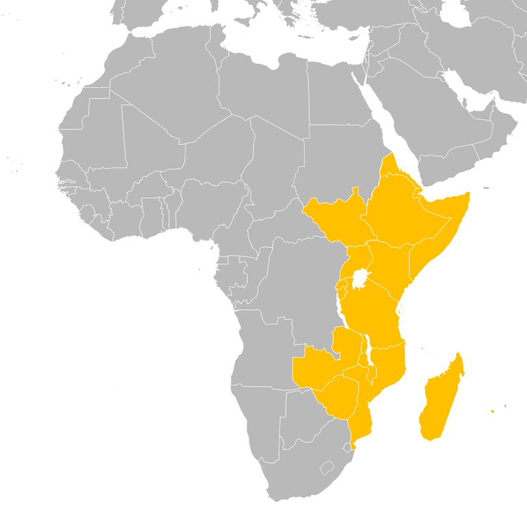
English: The map of East Africa region |
| Date | |
| Source | File:BlankMap-Africa2.svg and File:Eastern-Africa-map.PNG |
| Author | Reubot |
| Other versions | File:Eastern-Africa-map.PNG |
Licensing
edit
| I, the copyright holder of this work, release this work into the public domain. This applies worldwide. In some countries this may not be legally possible; if so: I grant anyone the right to use this work for any purpose, without any conditions, unless such conditions are required by law. |
File history
Click on a date/time to view the file as it appeared at that time.
| Date/Time | Thumbnail | Dimensions | User | Comment | |
|---|---|---|---|---|---|
| current | 10:35, 5 May 2024 | | 1,000 × 1,000 (274 KB) | Hogweard (talk | contribs) | South Sudan |
| 12:31, 18 August 2020 |  | 1,000 × 1,000 (274 KB) | Hogweard (talk | contribs) | South Sudan border | |
| 14:06, 8 November 2011 |  | 1,000 × 1,000 (266 KB) | Reubot (talk | contribs) | {{Information |Description ={{en|1=The map of East Africa region}} |Source =File:BlankMap-Africa2.svg and File:Eastern-Africa-map.PNG |Author =Reubot |Date =2011-11-09 |Permission = |other_versio |
You cannot overwrite this file.
File usage on Commons
There are no pages that use this file.
File usage on other wikis
The following other wikis use this file:
- Usage on hu.wikipedia.org
- Egyiptom
- Mali
- Benin
- Afrika
- Sablon:Afrika
- Botswana
- Angola
- Dél-afrikai Köztársaság
- Marokkó
- Szudán
- Burkina Faso
- Elefántcsontpart
- Comore-szigetek
- Madagaszkár
- Malawi
- Mozambik
- Ruanda
- Szomália
- Tanzánia
- Uganda
- Zambia
- Kongói Demokratikus Köztársaság
- Kenya
- Kongói Köztársaság
- Lesotho
- Guinea
- Algéria
- Nyugat-Szahara
- Bissau-Guinea
- Csád
- Dzsibuti
- Egyenlítői-Guinea
- Líbia
- Közép-afrikai Köztársaság
- Libéria
- Mauritánia
- Nigéria
- Niger (ország)
- Eritrea
- Etiópia
- Ghána
- Kamerun
- Gambia
- Gabon
- Mauritius
- Namíbia
- São Tomé és Príncipe
- Seychelle-szigetek
- Sierra Leone
- Tunézia
View more global usage of this file.