File:Eastern embankment of Sulejowski Reservoir View from the dam in Smardzewice from Tomaszów Mazowiecki side. Łódź Voivodeship, Poland.jpg

Size of this preview: 800 × 520 pixels. Other resolutions: 320 × 208 pixels | 640 × 416 pixels | 1,024 × 665 pixels | 1,280 × 831 pixels | 2,560 × 1,663 pixels | 3,784 × 2,458 pixels.
Original file (3,784 × 2,458 pixels, file size: 6.39 MB, MIME type: image/jpeg)
Captions
Captions
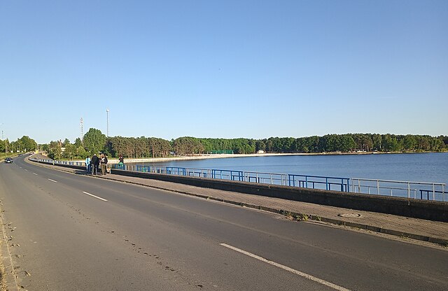
Eastern coast of Sulejowski Reservoir View from the dam in Smardzewice from Tomaszów Mazowiecki side. Łódź Voivodeship, Poland
Summary
edit
| Description |
English: Eastern coast of Zalew Sulejowski. View from the dam in Smardzewice from Tomaszów Mazowiecki side, Tomaszów Mazowiecki gmina, Tomaszowski Pociąg, Łódź Voivodeship, Poland |
| Date | |
| Source | Own work |
| Author | WrS.tm.pl |
| Camera location | | View this and other nearby images on: OpenStreetMap |
|---|
Licensing
edit
| This work has been released into the public domain by its author, WrS.tm.pl at Polish Wikipedia. This applies worldwide. In some countries this may not be legally possible; if so: WrS.tm.pl grants anyone the right to use this work for any purpose, without any conditions, unless such conditions are required by law. |
File history
Click on a date/time to view the file as it appeared at that time.
| Date/Time | Thumbnail | Dimensions | User | Comment | |
|---|---|---|---|---|---|
| current | 13:16, 7 June 2023 | | 3,784 × 2,458 (6.39 MB) | WrS.tm.pl (talk | contribs) | Cropped 8 % horizontally, 20 % vertically using CropTool with precise mode. |
| 13:15, 7 June 2023 |  | 4,096 × 3,072 (7.6 MB) | WrS.tm.pl (talk | contribs) | Uploaded own work with UploadWizard |
You cannot overwrite this file.
File usage on Commons
The following page uses this file:
File usage on other wikis
The following other wikis use this file:
- Usage on en.wikipedia.org