File:Eave detail, northwest side - Curve Station, Intersection of Highway K-383 and Bryant Road, Almena, Norton County, KS HABS KS-70-10.tif

Size of this JPG preview of this TIF file: 749 × 599 pixels. Other resolutions: 300 × 240 pixels | 600 × 480 pixels | 960 × 768 pixels | 1,280 × 1,024 pixels | 2,559 × 2,048 pixels | 5,388 × 4,312 pixels.
Original file (5,388 × 4,312 pixels, file size: 22.16 MB, MIME type: image/tiff)
Captions
Captions
Add a one-line explanation of what this file represents
Summary edit
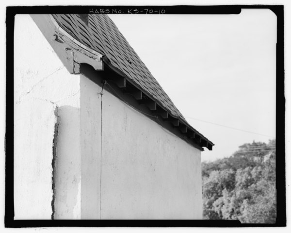
| Eave detail, northwest side - Curve Station, Intersection of Highway K-383 and Bryant Road, Almena, Norton County, KS | ||||
|---|---|---|---|---|
| Photographer |
Related names:
|
|||
| Title |
Eave detail, northwest side - Curve Station, Intersection of Highway K-383 and Bryant Road, Almena, Norton County, KS |
|||
| Description |
Kansas Department of Transportation (KDOT); Cummings, Melvin; Short, Chet; Pratt, Bob; Cate, Clarence; Wegman-French, Lysa, transmitter; Kintner, Earl, photographer; White, Sheryll L, historian |
|||
| Depicted place | Kansas; Norton County; Almena | |||
| Date | Documentation compiled after 1933 | |||
| Dimensions | 4 x 5 in. | |||
| Current location |
Library of Congress Prints and Photographs Division Washington, D.C. 20540 USA http://hdl.loc.gov/loc.pnp/pp.print |
|||
| Accession number |
HABS KS-70-10 |
|||
| Credit line |
|
|||
| Notes |
|
|||
| Source | https://www.loc.gov/pictures/item/ks0164.photos.209674p | |||
| Permission (Reusing this file) |
|
|||

| Object location | | View this and other nearby images on: OpenStreetMap |
|---|
File history
Click on a date/time to view the file as it appeared at that time.
| Date/Time | Thumbnail | Dimensions | User | Comment | |
|---|---|---|---|---|---|
| current | 08:49, 19 July 2014 |  | 5,388 × 4,312 (22.16 MB) | Fæ (talk | contribs) | GWToolset: Creating mediafile for Fæ. HABS 16 July 2014 (1201:1400) |
You cannot overwrite this file.
File usage on Commons
The following page uses this file: