File:Eckerö OnEarth WMS.png

Size of this preview: 374 × 600 pixels. Other resolutions: 150 × 240 pixels | 572 × 917 pixels.
Original file (572 × 917 pixels, file size: 686 KB, MIME type: image/png)
Captions
Captions
Add a one-line explanation of what this file represents
Summary edit
| Description |
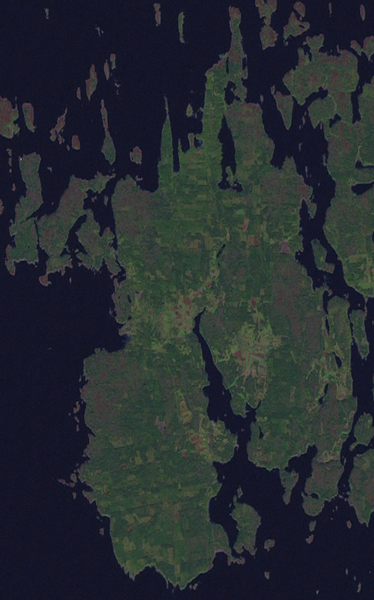
English: False colour satellite image of Eckerö, Finland. |
| Date | 6 April 2006 (upload date) |
| Source | Public domain satellite imagery taken by screenshot from NASA World Wind software. OnEarth WMS global mosaic pseudocolor layer. |
| Author | NASA |
| Object location | | View this and other nearby images on: OpenStreetMap |
|---|
Licensing edit
| This image is in the public domain because it is a screenshot from NASA’s globe software World Wind using a public domain layer, such as Blue Marble, MODIS, Landsat, SRTM, USGS or GLOBE.
|
 |
File history
Click on a date/time to view the file as it appeared at that time.
| Date/Time | Thumbnail | Dimensions | User | Comment | |
|---|---|---|---|---|---|
| current | 00:32, 6 April 2006 | | 572 × 917 (686 KB) | Hautala (talk | contribs) | sharper picture |
| 23:17, 5 April 2006 |  | 574 × 909 (581 KB) | Hautala (talk | contribs) | {{PD-WorldWind}} False colour satellite image of Eckerö, Finland. Screenshot of NASA World Wind, OnEarth WMS layer. Coordinates: :worldwind://goto/world=Earth&lat=60.22971&lon=19.56682&alt=24952 |
You cannot overwrite this file.
File usage on Commons
There are no pages that use this file.