File:Edge of forest on Wholhope Hill - geograph.org.uk - 1214191.jpg
No higher resolution available.
Edge_of_forest_on_Wholhope_Hill_-_geograph.org.uk_-_1214191.jpg (640 × 480 pixels, file size: 82 KB, MIME type: image/jpeg)
Captions
Captions
Add a one-line explanation of what this file represents
Summary edit
| Description |
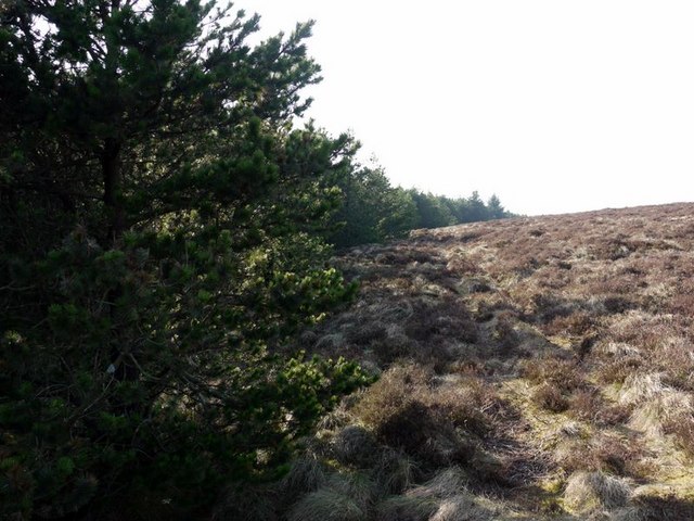
English: Edge of forest on Wholhope Hill Younger trees have extended the plantation further up the hill towards Wether Cairn from the boundary shown on the current 1:50000 OS map. |
| Date | |
| Source | From geograph.org.uk |
| Author | Andrew Curtis |
| Attribution (required by the license) | Andrew Curtis / Edge of forest on Wholhope Hill / |
| Camera location | | View this and other nearby images on: OpenStreetMap |
|---|
_heading:270.00&language=en)
| Object location | | View this and other nearby images on: OpenStreetMap |
|---|
_heading:270.00&language=en)
Licensing edit

|
This image was taken from the Geograph project collection. See this photograph's page on the Geograph website for the photographer's contact details. The copyright on this image is owned by Andrew Curtis and is licensed for reuse under the Creative Commons Attribution-ShareAlike 2.0 license.
|
This file is licensed under the Creative Commons Attribution-Share Alike 2.0 Generic license.
Attribution: Andrew Curtis
- You are free:
- to share – to copy, distribute and transmit the work
- to remix – to adapt the work
- Under the following conditions:
- attribution – You must give appropriate credit, provide a link to the license, and indicate if changes were made. You may do so in any reasonable manner, but not in any way that suggests the licensor endorses you or your use.
- share alike – If you remix, transform, or build upon the material, you must distribute your contributions under the same or compatible license as the original.
File history
Click on a date/time to view the file as it appeared at that time.
| Date/Time | Thumbnail | Dimensions | User | Comment | |
|---|---|---|---|---|---|
| current | 06:28, 26 February 2011 | | 640 × 480 (82 KB) | GeographBot (talk | contribs) | == {{int:filedesc}} == {{Information |description={{en|1=Edge of forest on Wholhope Hill Younger trees have extended the plantation further up the hill towards Wether Cairn from the boundary shown on the current 1:50000 OS map.}} |date=2009-03-20 |source= |
You cannot overwrite this file.
File usage on Commons
There are no pages that use this file.