File:Egypt map arabic.jpg

Size of this preview: 545 × 600 pixels. Other resolutions: 218 × 240 pixels | 436 × 480 pixels | 727 × 800 pixels.
Original file (727 × 800 pixels, file size: 58 KB, MIME type: image/jpeg)
Captions
Captions
Add a one-line explanation of what this file represents
Summary edit
| Description |
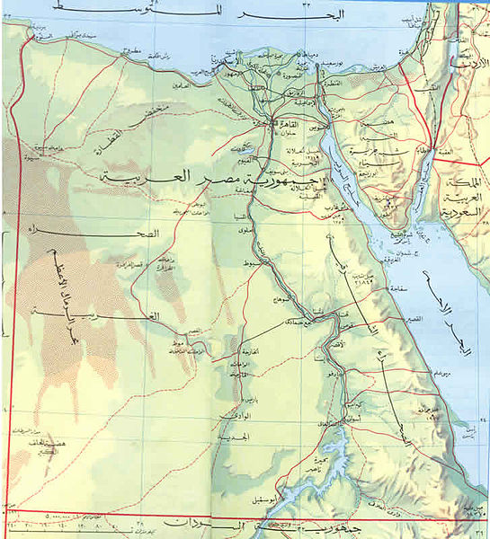
العربية: خريطة توضح حدود مصر الجغرافية والمدن الر ئيسية بها |
| Date | |
| Source | كتاب اطلس المدارس |
| Author | وزارة التعليم |
Licensing edit
 |
The author of this work is anonymous and this work was made available to the public more than 50 years ago. According to the Berne convention Art. 7, and the laws of many countries, this work is in the public domain.
Note: This template does not apply to works from countries that extended the Berne Convention or that did not sign it. In particular, this includes the European Union, the United States, India, and Russia. Please use {{PD-anon-70-EU}}, {{PD-US}}, {{PD-India}}, {{PD-Russia-1996}}, etc. in such cases and check Commons:Anonymous works every time, carefully! |
File history
Click on a date/time to view the file as it appeared at that time.
| Date/Time | Thumbnail | Dimensions | User | Comment | |
|---|---|---|---|---|---|
| current | 21:33, 6 February 2013 | | 727 × 800 (58 KB) | Omda4wady (talk | contribs) | User created page with UploadWizard |
You cannot overwrite this file.
File usage on Commons
There are no pages that use this file.
File usage on other wikis
The following other wikis use this file:
- Usage on ar.wikipedia.org
- Usage on arz.wikipedia.org
- Usage on incubator.wikimedia.org