File:Elgeseter Bru (3943366449).jpg
Size of this preview: 800 × 544 pixels. Other resolutions: 320 × 218 pixels | 640 × 435 pixels | 891 × 606 pixels.
Original file (891 × 606 pixels, file size: 348 KB, MIME type: image/jpeg)
Captions
Captions
Add a one-line explanation of what this file represents
Summary
edit.jpg&action=edit§ion=1)
| Description |
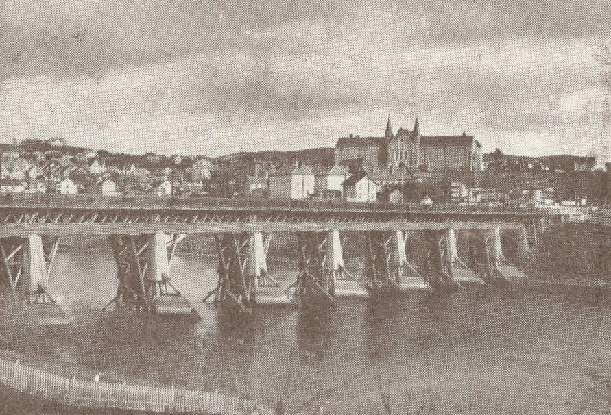
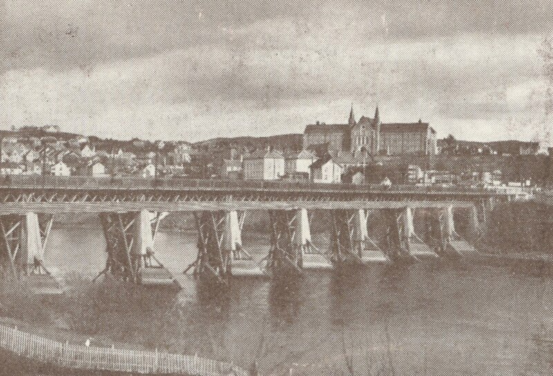
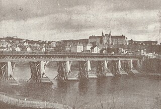
Elgeseter bro over Nidelven, Størenbanens første jernbanebro. Middelalderens bro over til Elgeseter antas å ha hatt samme beliggenhet på sydsiden (til høyre på bildet), men skrådde mer vestlig (mot høyre) på bysiden. Elgeseter kloster lå til høyre for broen. Ukjent fotograf, ukjent årstall. |
| Date | |
| Source | Elgeseter Bru |
| Author | Municipal Archives of Trondheim from Trondheim, Norway |
| Camera location | | View this and other nearby images on: OpenStreetMap |
|---|
.jpg¶ms=063.423908_N_0010.394074_E_globe:Earth_type:camera_source:Flickr_&language=en)
Licensing
edit.jpg&action=edit§ion=2)
This file is licensed under the Creative Commons Attribution 2.0 Generic license.
- You are free:
- to share – to copy, distribute and transmit the work
- to remix – to adapt the work
- Under the following conditions:
- attribution – You must give appropriate credit, provide a link to the license, and indicate if changes were made. You may do so in any reasonable manner, but not in any way that suggests the licensor endorses you or your use.
| This image was originally posted to Flickr by Trondheim byarkiv at https://flickr.com/photos/29160242@N08/3943366449 (archive). It was reviewed on 27 February 2018 by FlickreviewR 2 and was confirmed to be licensed under the terms of the cc-by-2.0. |
File history
Click on a date/time to view the file as it appeared at that time.
| Date/Time | Thumbnail | Dimensions | User | Comment | |
|---|---|---|---|---|---|
| current | 21:49, 27 February 2018 | | 891 × 606 (348 KB) | Artix Kreiger 2 (talk | contribs) | Transferred from Flickr via Flickr2Commons |
You cannot overwrite this file.
File usage on Commons
There are no pages that use this file.
.jpg&oldid=897797722)