File:Elis topographic map blank.svg

Size of this PNG preview of this SVG file: 557 × 600 pixels. Other resolutions: 223 × 240 pixels | 446 × 480 pixels | 713 × 768 pixels | 951 × 1,024 pixels | 1,902 × 2,048 pixels | 650 × 700 pixels.
Original file (SVG file, nominally 650 × 700 pixels, file size: 728 KB)
Captions
Captions
Add a one-line explanation of what this file represents
Summary edit
| Description |
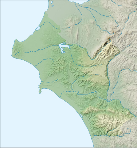
Ελληνικά: Τοπογραφικός χάρτης της Ηλείας, χωρίς επιγραφές. English: Topographic map of Élis, blank |
| Date | |
| Source |
Own work, Derivative work, using elements of the following: shaded relief, shoreline and lakes: file:Peloponnese_relief_map-blank.svg, author: Eric Gaba (Sting - fr:Sting) boundaries of Elis: file:Greece_subnat_blank.svg, author: Pitichinaccio rivers: demis.nl (public domain). |
| Author | Αντιγόνη |
Licensing edit
I, the copyright holder of this work, hereby publish it under the following license:
This file is licensed under the Creative Commons Attribution-Share Alike 3.0 Unported license.
- You are free:
- to share – to copy, distribute and transmit the work
- to remix – to adapt the work
- Under the following conditions:
- attribution – You must give appropriate credit, provide a link to the license, and indicate if changes were made. You may do so in any reasonable manner, but not in any way that suggests the licensor endorses you or your use.
- share alike – If you remix, transform, or build upon the material, you must distribute your contributions under the same or compatible license as the original.
File history
Click on a date/time to view the file as it appeared at that time.
| Date/Time | Thumbnail | Dimensions | User | Comment | |
|---|---|---|---|---|---|
| current | 08:58, 15 November 2013 | | 650 × 700 (728 KB) | Αντιγόνη (talk | contribs) | User created page with UploadWizard |
You cannot overwrite this file.
File usage on Commons
There are no pages that use this file.