File:Empire-of-Japan-Topographic-Map-大日本帝国の地形図-1918.jpg

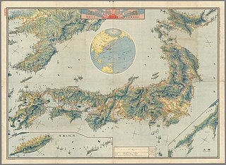
Size of this preview: 800 × 585 pixels. Other resolutions: 320 × 234 pixels | 640 × 468 pixels | 1,024 × 749 pixels | 1,280 × 936 pixels | 2,560 × 1,871 pixels | 8,922 × 6,522 pixels.
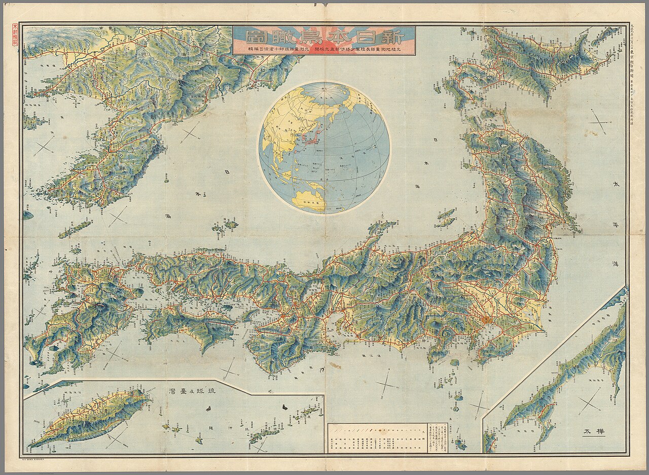
Original file (8,922 × 6,522 pixels, file size: 23.47 MB, MIME type: image/jpeg)
Captions
Captions
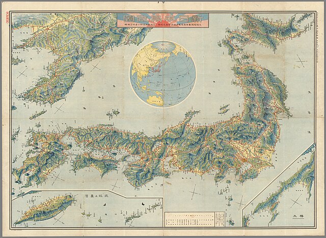
Topographic map of the Empire of Japan in November, 1918.
Summary
edit
| Description |
English: Topographic map of the Empire of Japan in 1918. It is a detailed, high quality map. Description says:
"November 3, 1918. Tokyo Asahi Shimbun No. 1 Manga Senjo Hyakugo Ritsusho. New Japan bird Eye View. Former Japanese Imperial Land Survey Army Major General Ibe Naomitsu School Calibration. Former Surveying Department Engineer, edited by Ryoji Ogura."日本語: 大日本帝国の地形図(1918年11月)。説明によると:
「大正九年十一月三日東京朝日新聞第壹萬貮千參百五律貮號。 新日本鳥俯図。 元陸地測量部陸軍少将伊部直光校校正。 元測量部技師小倉儉司編輯。」 |
| Date | |
| Source | Map Mania.org https://web.archive.org/web/20210514141905/https://www.mapmania.org/map/86749/1915_map_of_japan_korea__taiwan |
| Author | Asahi Shimbun, Tokyo |
Licensing
edit
This file is licensed under the Creative Commons Attribution-Share Alike 1.0 Generic license.
- You are free:
- to share – to copy, distribute and transmit the work
- to remix – to adapt the work
- Under the following conditions:
- attribution – You must give appropriate credit, provide a link to the license, and indicate if changes were made. You may do so in any reasonable manner, but not in any way that suggests the licensor endorses you or your use.
- share alike – If you alter, transform, or build upon this work, you must distribute the resulting work under the same license as the original.
File history
Click on a date/time to view the file as it appeared at that time.
| Date/Time | Thumbnail | Dimensions | User | Comment | |
|---|---|---|---|---|---|
| current | 14:59, 14 May 2021 | | 8,922 × 6,522 (23.47 MB) | Artanisen (talk | contribs) | Uploaded a work by Asahi Shimbun from https://web.archive.org/web/20210514141905/https://www.mapmania.org/map/86749/1915_map_of_japan_korea__taiwan with UploadWizard |
You cannot overwrite this file.
File usage on Commons
The following 2 pages use this file:
File usage on other wikis
The following other wikis use this file:
- Usage on en.wikipedia.org
- Usage on fr.wikipedia.org
- Usage on ja.wikipedia.org
- Usage on ms.wikipedia.org
- Usage on zh.wikipedia.org