File:End of Common Road - geograph.org.uk - 1062073.jpg
No higher resolution available.
End_of_Common_Road_-_geograph.org.uk_-_1062073.jpg (640 × 481 pixels, file size: 99 KB, MIME type: image/jpeg)
Captions
Captions
Add a one-line explanation of what this file represents
Summary
edit
| Description |
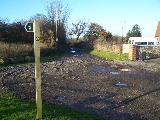
English: End of Common Road Near Burham Hill Farm, road becomes track called Hill Road to Keeper's Cottage.
Note; Sign in background says 'Access to Gamekeeper's cottage'. Also part of the North Downs Way, from Blue Bell Hill to Borstal. Footpath heading left in foreground goes down through Wouldham Common to Rochester Road in Scarborough Village. |
| Date | |
| Source | From geograph.org.uk |
| Author | David Anstiss |
| Attribution (required by the license) | David Anstiss / End of Common Road / |
| Camera location | | View this and other nearby images on: OpenStreetMap |
|---|
_heading:337.00&language=en)
| Object location | | View this and other nearby images on: OpenStreetMap |
|---|
_heading:337.00&language=en)
Licensing
edit

|
This image was taken from the Geograph project collection. See this photograph's page on the Geograph website for the photographer's contact details. The copyright on this image is owned by David Anstiss and is licensed for reuse under the Creative Commons Attribution-ShareAlike 2.0 license.
|
This file is licensed under the Creative Commons Attribution-Share Alike 2.0 Generic license.
Attribution: David Anstiss
- You are free:
- to share – to copy, distribute and transmit the work
- to remix – to adapt the work
- Under the following conditions:
- attribution – You must give appropriate credit, provide a link to the license, and indicate if changes were made. You may do so in any reasonable manner, but not in any way that suggests the licensor endorses you or your use.
- share alike – If you remix, transform, or build upon the material, you must distribute your contributions under the same or compatible license as the original.

|
The categories of this image need checking. You can do so here.
|
File history
Click on a date/time to view the file as it appeared at that time.
| Date/Time | Thumbnail | Dimensions | User | Comment | |
|---|---|---|---|---|---|
| current | 03:53, 24 February 2011 | | 640 × 481 (99 KB) | GeographBot (talk | contribs) | == {{int:filedesc}} == {{Information |description={{en|1=End of Common Road Near Burham Hill Farm, road becomes track called Hill Road to Keeper's Cottage. Note; Sign in background says 'Access to Gamekeeper's cottage'. Also part of the North Downs Way, |
You cannot overwrite this file.
File usage on Commons
There are no pages that use this file.