File:End of the Road (Geograph 3592091) by James T M Towill (XAM-E1).jpg

Size of this preview: 450 × 599 pixels. Other resolutions: 180 × 240 pixels | 360 × 480 pixels | 577 × 768 pixels | 769 × 1,024 pixels | 1,538 × 2,048 pixels | 3,448 × 4,592 pixels.
Original file (3,448 × 4,592 pixels, file size: 4.5 MB, MIME type: image/jpeg)
Captions
Captions
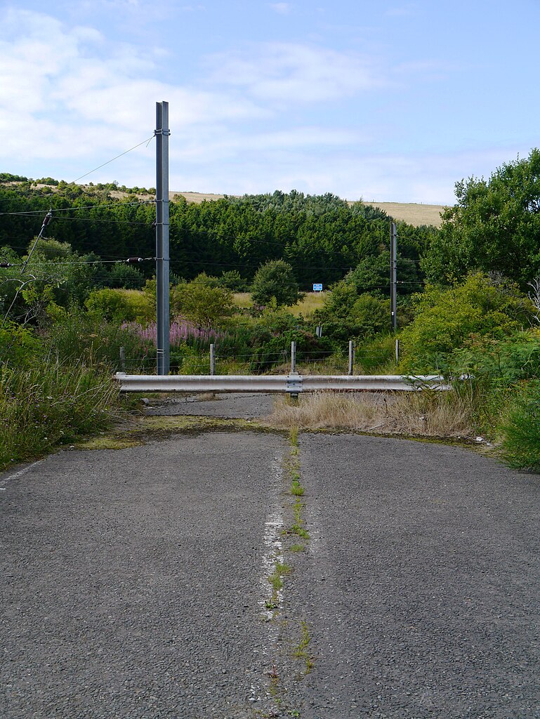
A section of the original alignment of the A1 road severed by the realigned railway in the aftermath of the 1979 Penmanshiel Tunnel collapse.
Summary
edit| Description |
English: A section of the original alignment of the A1 road severed by the new alignment of the East Coast Main Line, following the collapse of Penmanshiel Tunnel in March 1979. The blue sign visible in the centre rear of the photograph indicates the new road alignment. |
| Date | |
| Source | https://www.geograph.org.uk/photo/3592091 |
| Author | James T M Towill (with exposure adjustments by XAM2175) |
| Other versions |
|
| Attribution (required by the license) | James T M Towill / End Of The Road / |

_by_James_T_M_Towill_(XAM-E1).jpg&action=edit§ion=1)
| Camera location | | View this and other nearby images on: OpenStreetMap |
|---|
_by_James_T_M_Towill_(XAM-E1).jpg¶ms=055.895059_N_-002.328573_E_globe:Earth_type:camera_heading:337.00&language=en)
Licensing
edit_by_James_T_M_Towill_(XAM-E1).jpg&action=edit§ion=2)

|
This image was taken from the Geograph project collection. See this photograph's page on the Geograph website for the photographer's contact details. The copyright on this image is owned by James T M Towill and is licensed for reuse under the Creative Commons Attribution-ShareAlike 2.0 license.
|
This file is licensed under the Creative Commons Attribution-Share Alike 2.0 Generic license.
Attribution: James T M Towill
- You are free:
- to share – to copy, distribute and transmit the work
- to remix – to adapt the work
- Under the following conditions:
- attribution – You must give appropriate credit, provide a link to the license, and indicate if changes were made. You may do so in any reasonable manner, but not in any way that suggests the licensor endorses you or your use.
- share alike – If you remix, transform, or build upon the material, you must distribute your contributions under the same or compatible license as the original.
File history
Click on a date/time to view the file as it appeared at that time.
| Date/Time | Thumbnail | Dimensions | User | Comment | |
|---|---|---|---|---|---|
| current | 18:38, 6 January 2023 | | 3,448 × 4,592 (4.5 MB) | XAM2175 (talk | contribs) | Uploaded a work by [James T M Towill https://www.geograph.org.uk/profile/24241] from https://www.geograph.org.uk/photo/3592091 with UploadWizard |
You cannot overwrite this file.
File usage on Commons
The following 2 pages use this file:
_by_James_T_M_Towill_(XAM-E1).jpg&oldid=800346707)