File:English map of Poland XVIII century.png
Original file (928 × 796 pixels, file size: 1.7 MB, MIME type: image/png)
Captions
Captions
Summary
edit
| Description |
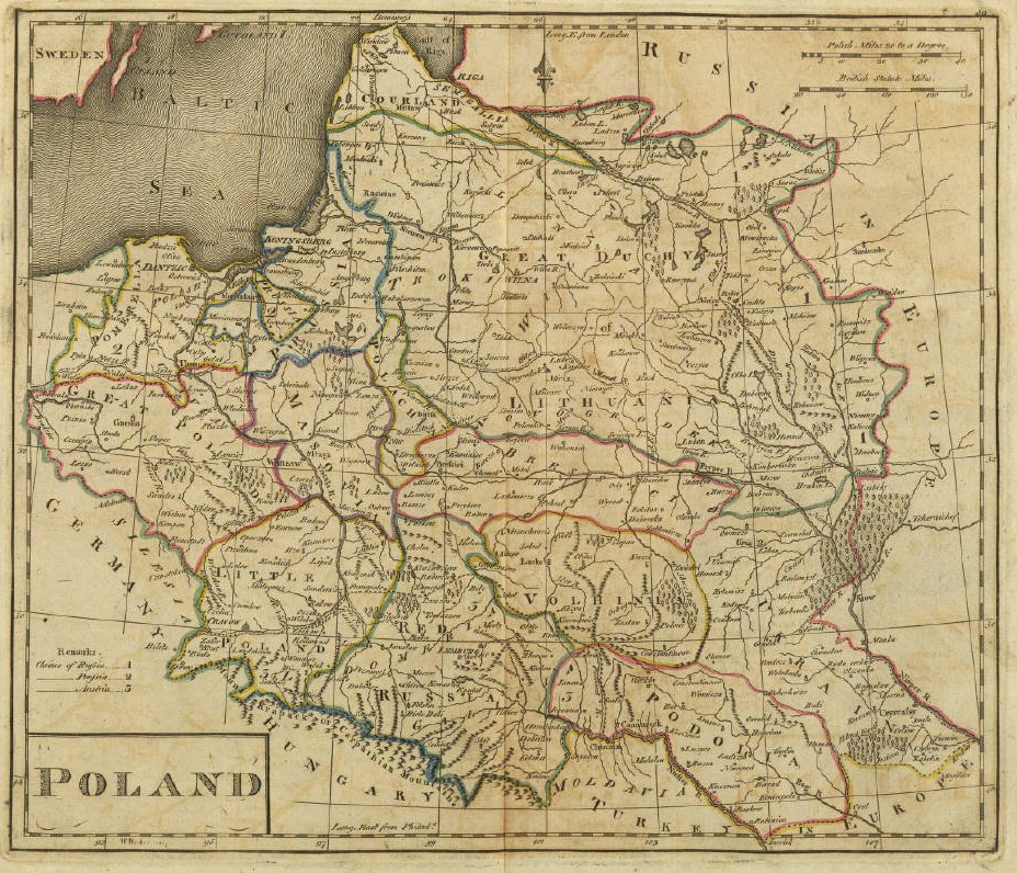
English: English map of Poland - XVIII century
Українська: Карта Польщі (XVIII ст.) |
||||
| Source | |||||
| Author | |||||
| Permission (Reusing this file) |
|
||||
File history
Click on a date/time to view the file as it appeared at that time.
| Date/Time | Thumbnail | Dimensions | User | Comment | |
|---|---|---|---|---|---|
| current | 23:24, 17 February 2006 | | 928 × 796 (1.7 MB) | EAJoe~commonswiki (talk | contribs) | English map of Poland - XVIII century |
You cannot overwrite this file.
File usage on Commons
The following 2 pages use this file:
File usage on other wikis
The following other wikis use this file:
- Usage on als.wikipedia.org
- Usage on azb.wikipedia.org
- Usage on be.wikipedia.org
- Usage on ca.wikipedia.org
- Usage on cs.wikipedia.org
- Usage on de.wikipedia.org
- Usage on el.wikipedia.org
- Usage on en.wikipedia.org
- Usage on fr.wikipedia.org
- Usage on lt.wikipedia.org
- Usage on lt.wikibooks.org
- Usage on sr.wikipedia.org
- Usage on tg.wikipedia.org
- Usage on uk.wikipedia.org