File:Entrance to Twyning Meadow - geograph.org.uk - 895025.jpg
No higher resolution available.
Entrance_to_Twyning_Meadow_-_geograph.org.uk_-_895025.jpg (640 × 480 pixels, file size: 127 KB, MIME type: image/jpeg)
Captions
Captions
Add a one-line explanation of what this file represents
Summary
edit
| Description |
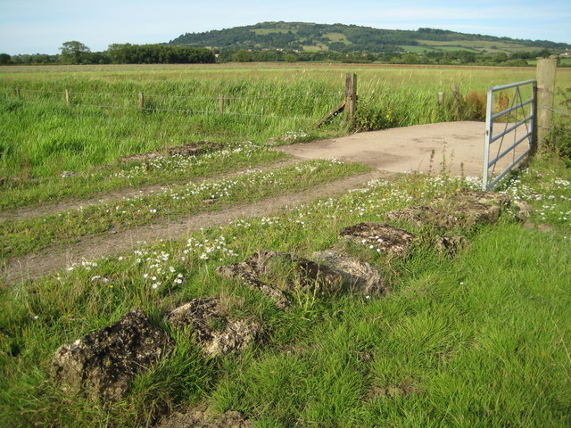
English: Entrance to Twyning Meadow The gateway and bridge over a brook into Upham Meadow, better known as Twyning Meadow. The old concrete blocks in the foreground which are now sinking into the ground date from the Second World War when they were distributed around Twyning Meadow to prevent enemy aircraft landing in the large 220 acre meadow. Bredon Hill is in the background. |
| Date | |
| Source | From geograph.org.uk |
| Author | Philip Halling |
| Attribution (required by the license) | Philip Halling / Entrance to Twyning Meadow / |
| Camera location | | View this and other nearby images on: OpenStreetMap |
|---|
_heading:67.00&language=en)
| Object location | | View this and other nearby images on: OpenStreetMap |
|---|
_heading:67.00&language=en)
Licensing
edit

|
This image was taken from the Geograph project collection. See this photograph's page on the Geograph website for the photographer's contact details. The copyright on this image is owned by Philip Halling and is licensed for reuse under the Creative Commons Attribution-ShareAlike 2.0 license.
|
This file is licensed under the Creative Commons Attribution-Share Alike 2.0 Generic license.
Attribution: Philip Halling
- You are free:
- to share – to copy, distribute and transmit the work
- to remix – to adapt the work
- Under the following conditions:
- attribution – You must give appropriate credit, provide a link to the license, and indicate if changes were made. You may do so in any reasonable manner, but not in any way that suggests the licensor endorses you or your use.
- share alike – If you remix, transform, or build upon the material, you must distribute your contributions under the same or compatible license as the original.
File history
Click on a date/time to view the file as it appeared at that time.
| Date/Time | Thumbnail | Dimensions | User | Comment | |
|---|---|---|---|---|---|
| current | 15:49, 21 February 2011 | | 640 × 480 (127 KB) | GeographBot (talk | contribs) | == {{int:filedesc}} == {{Information |description={{en|1=Entrance to Twyning Meadow The gateway and bridge over a brook into Upham Meadow, better known as Twyning Meadow. The old concrete blocks in the foreground which are now sinking into the ground date |
You cannot overwrite this file.
File usage on Commons
There are no pages that use this file.
File usage on other wikis
The following other wikis use this file:
- Usage on en.wikipedia.org