File:Entrance to the Quarry Top Track, College Lake - geograph.org.uk - 1397629.jpg

Size of this preview: 800 × 600 pixels. Other resolutions: 320 × 240 pixels | 640 × 480 pixels | 1,024 × 768 pixels | 1,280 × 960 pixels | 2,560 × 1,920 pixels | 3,264 × 2,448 pixels.
Original file (3,264 × 2,448 pixels, file size: 1.58 MB, MIME type: image/jpeg)
Captions
Captions
Add a one-line explanation of what this file represents
Summary
edit
| Description |
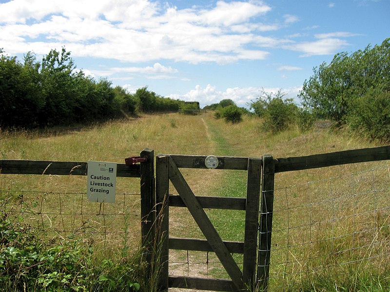
English: Entrance to the Quarry Top Track, College Lake The walking track round the lake regains the top of the quarry, to enter an area fenced off for grazing, with the old quarry top ring road running along the hedgerow.
(College Lake Nature Reserve http://www.bbowt.org.uk/content.asp?did=23523 ) |
| Date | |
| Source | From geograph.org.uk |
| Author | Chris Reynolds |
| Attribution (required by the license) | Chris Reynolds / Entrance to the Quarry Top Track, College Lake / |
| Camera location | | View this and other nearby images on: OpenStreetMap |
|---|
_heading:292.00&language=en)
| Object location | | View this and other nearby images on: OpenStreetMap |
|---|
_heading:292.00&language=en)
Licensing
edit

|
This image was taken from the Geograph project collection. See this photograph's page on the Geograph website for the photographer's contact details. The copyright on this image is owned by Chris Reynolds and is licensed for reuse under the Creative Commons Attribution-ShareAlike 2.0 license.
|
This file is licensed under the Creative Commons Attribution-Share Alike 2.0 Generic license.
Attribution: Chris Reynolds
- You are free:
- to share – to copy, distribute and transmit the work
- to remix – to adapt the work
- Under the following conditions:
- attribution – You must give appropriate credit, provide a link to the license, and indicate if changes were made. You may do so in any reasonable manner, but not in any way that suggests the licensor endorses you or your use.
- share alike – If you remix, transform, or build upon the material, you must distribute your contributions under the same or compatible license as the original.
File history
Click on a date/time to view the file as it appeared at that time.
| Date/Time | Thumbnail | Dimensions | User | Comment | |
|---|---|---|---|---|---|
| current | 23:49, 8 September 2017 | | 3,264 × 2,448 (1.58 MB) | Geograph Update Bot (talk | contribs) | Higher-resolution version from Geograph. |
| 21:50, 28 February 2011 |  | 640 × 480 (63 KB) | GeographBot (talk | contribs) | == {{int:filedesc}} == {{Information |description={{en|1=Entrance to the Quarry Top Track, College Lake The walking track round the lake regains the top of the quarry, to enter an area fenced off for grazing, with the old quarry top ring road running alon |
You cannot overwrite this file.
File usage on Commons
There are no pages that use this file.