File:Erlangen Bezirke.svg

Size of this PNG preview of this SVG file: 392 × 491 pixels. Other resolutions: 192 × 240 pixels | 383 × 480 pixels | 613 × 768 pixels | 817 × 1,024 pixels | 1,635 × 2,048 pixels.
Original file (SVG file, nominally 392 × 491 pixels, file size: 33 KB)
Captions
Captions
Add a one-line explanation of what this file represents
Summary edit
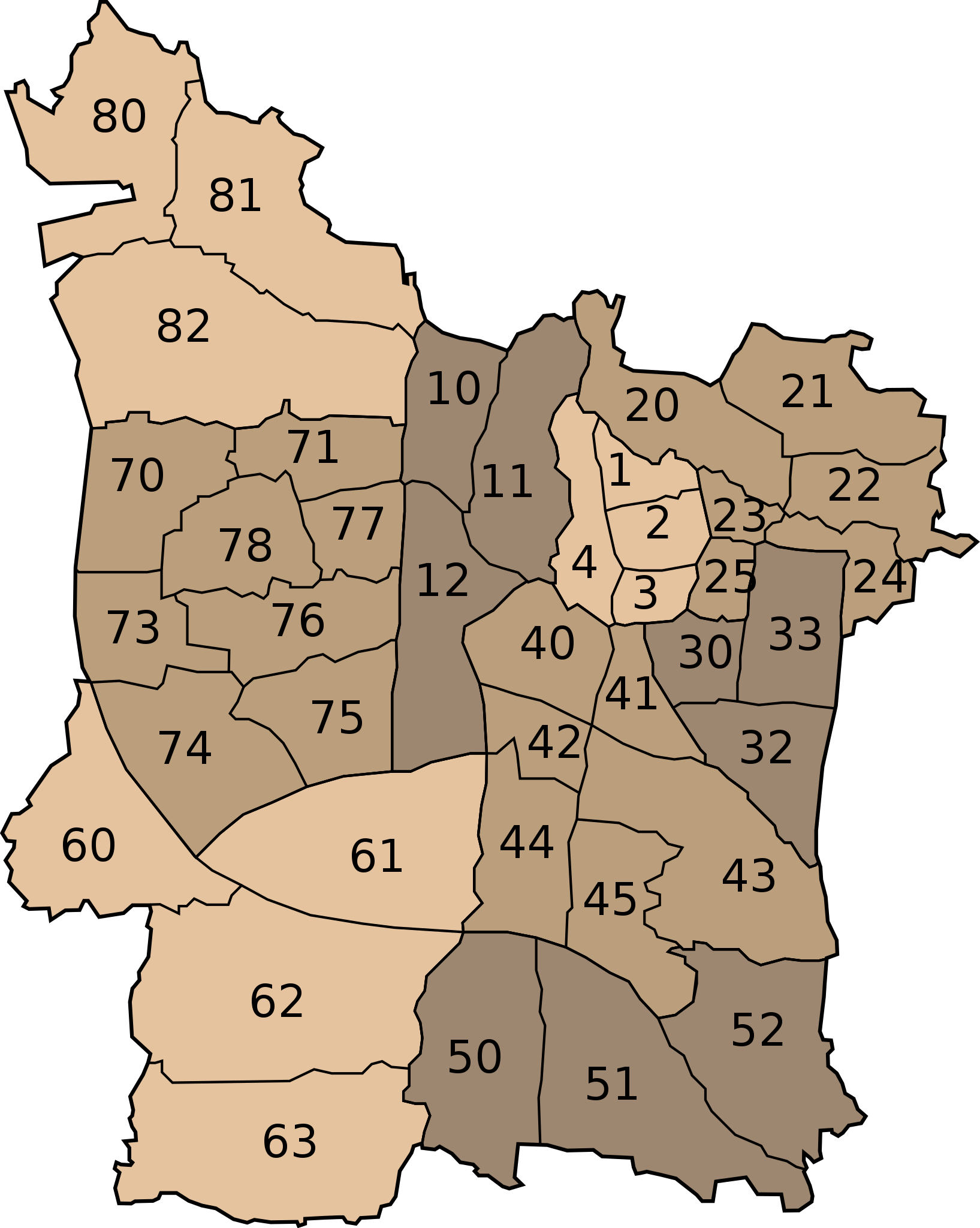
| Description | Erlangen: Statistische Bezirke |
| Date | |
| Source | own work on base of image |
| Author | user:fremantleboy |
| Other versions |
Derivative works of this file: |

|
This map has been made or improved in the German Kartenwerkstatt (Map Lab). You can propose maps to improve as well.
|
Licensing edit
This file is licensed under the Creative Commons Attribution 2.5 Generic license.
- You are free:
- to share – to copy, distribute and transmit the work
- to remix – to adapt the work
- Under the following conditions:
- attribution – You must give appropriate credit, provide a link to the license, and indicate if changes were made. You may do so in any reasonable manner, but not in any way that suggests the licensor endorses you or your use.
File history
Click on a date/time to view the file as it appeared at that time.
| Date/Time | Thumbnail | Dimensions | User | Comment | |
|---|---|---|---|---|---|
| current | 19:54, 6 August 2007 | | 392 × 491 (33 KB) | Fremantleboy (talk | contribs) | == Beschreibung == {{Information |Description=Erlangen: Statistische Bezirke |Source=own work on base of image |Date=6. August 2007 |Author=user:fremantleboy M. Stadthaus |Permission= |other_versions= {{Kartenwerkstatt}} == Licensing == {{cc-by-2.5} |
You cannot overwrite this file.
File usage on Commons
The following 10 pages use this file:
- Erlangen
- File:Erlangen Bezirke Gemarkungen Bruck.png
- File:Erlangen Bezirke Gemarkungen Büchenbach.png
- File:Erlangen Bezirke Gemarkungen Dechsendorf.png
- File:Erlangen Bezirke Gemarkungen Eltersdorf.png
- File:Erlangen Bezirke Gemarkungen Hüttendorf.png
- File:Erlangen Bezirke Gemarkungen Kosbach.png
- File:Erlangen Bezirke Gemarkungen Kriegenbrunn.png
- File:Erlangen Bezirke Gemarkungen Tennenlohe.png
- File:Erlangen Bezirke breit.svg
File usage on other wikis
The following other wikis use this file:
- Usage on azb.wikipedia.org
- Usage on de.wikipedia.org
- Usage on en.wikipedia.org
- Usage on hu.wikipedia.org
- Usage on ja.wikipedia.org
- Usage on nl.wikipedia.org
- Usage on ru.wikipedia.org