File:Erongo Banner.jpg
Size of this preview: 798 × 114 pixels. Other resolutions: 320 × 46 pixels | 640 × 91 pixels | 1,024 × 146 pixels | 5,760 × 823 pixels.
Original file (5,760 × 823 pixels, file size: 1.23 MB, MIME type: image/jpeg)
Captions
Captions
Add a one-line explanation of what this file represents
Summary
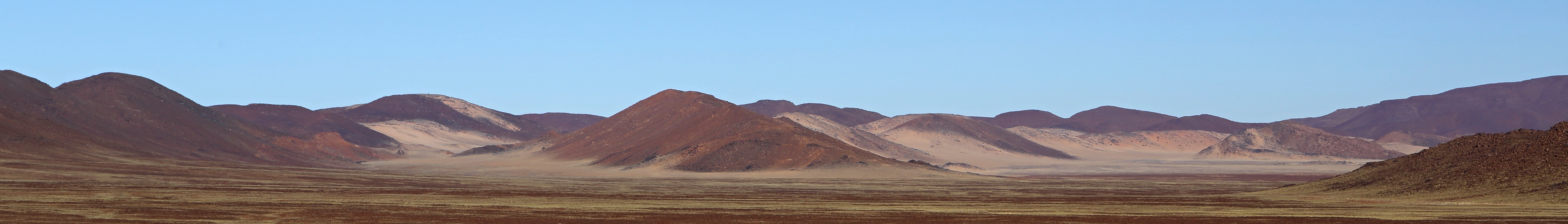
edit| Description | Krajina v oblasti Messum Crater |
| Date | Taken on 11 August 2014 |
| Source | https://www.panoramio.com/photo/111123069 |
| Author | Martin Cígler |
| Permission (Reusing this file) |
This file is licensed under the Creative Commons Attribution-Share Alike 3.0 Unported license. Attribution: Martin Cígler
|
| Other versions | |
| Tags (from Panoramio photo page) | Erongo Region, Namibie |
.jpg)
| Camera location | | View this and other nearby images on: OpenStreetMap |
|---|

|
The categories of this image need checking. You can do so here.
|
File history
Click on a date/time to view the file as it appeared at that time.
| Date/Time | Thumbnail | Dimensions | User | Comment | |
|---|---|---|---|---|---|
| current | 23:30, 24 March 2019 | 5,760 × 823 (1.23 MB) | SelfieCity (talk | contribs) | File:Krajina v oblasti Messum Crater - panoramio (3).jpg cropped 79 % vertically using CropTool with precise mode. |
You cannot overwrite this file.
File usage on Commons
The following page uses this file:
File usage on other wikis
The following other wikis use this file:
- Usage on en.wikivoyage.org
- Usage on eo.wikipedia.org
- Usage on pl.wikivoyage.org
- Usage on uk.wikivoyage.org
- Usage on www.wikidata.org